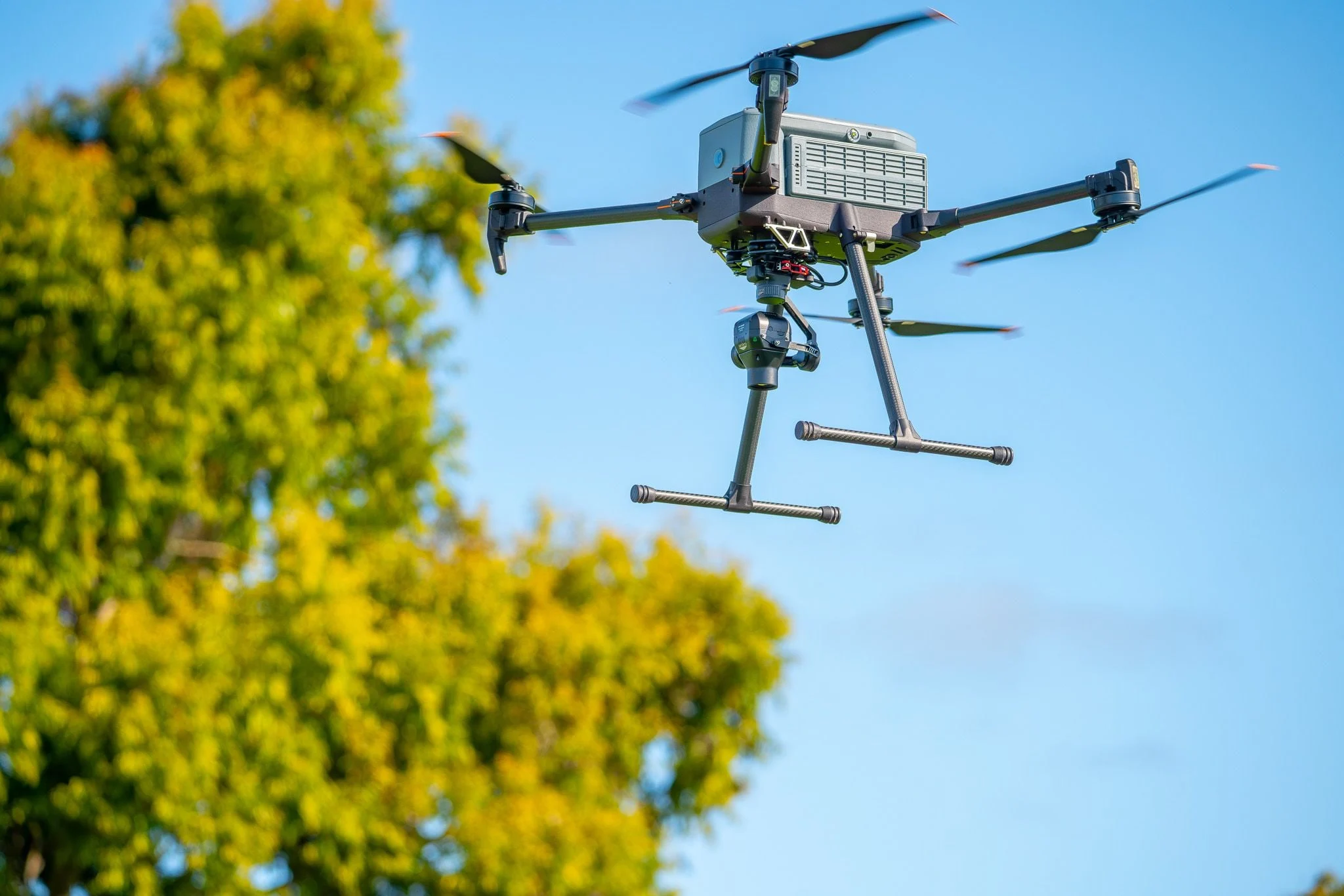
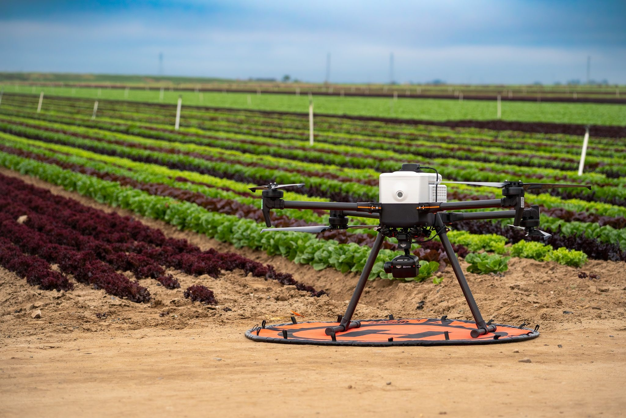
A compact professional aircraft built for repeatable field deployment with the payload flexibility required for LiDAR, mapping, inspection, and multispectral work.
The IF800 gives survey and inspection teams a flexible aircraft without turning field setup into a production. Tool-free payload mounting, an adjustable rail, and purpose-built positioning options make it a practical foundation for a complete LiDARUSA system.
Flexible payload integration
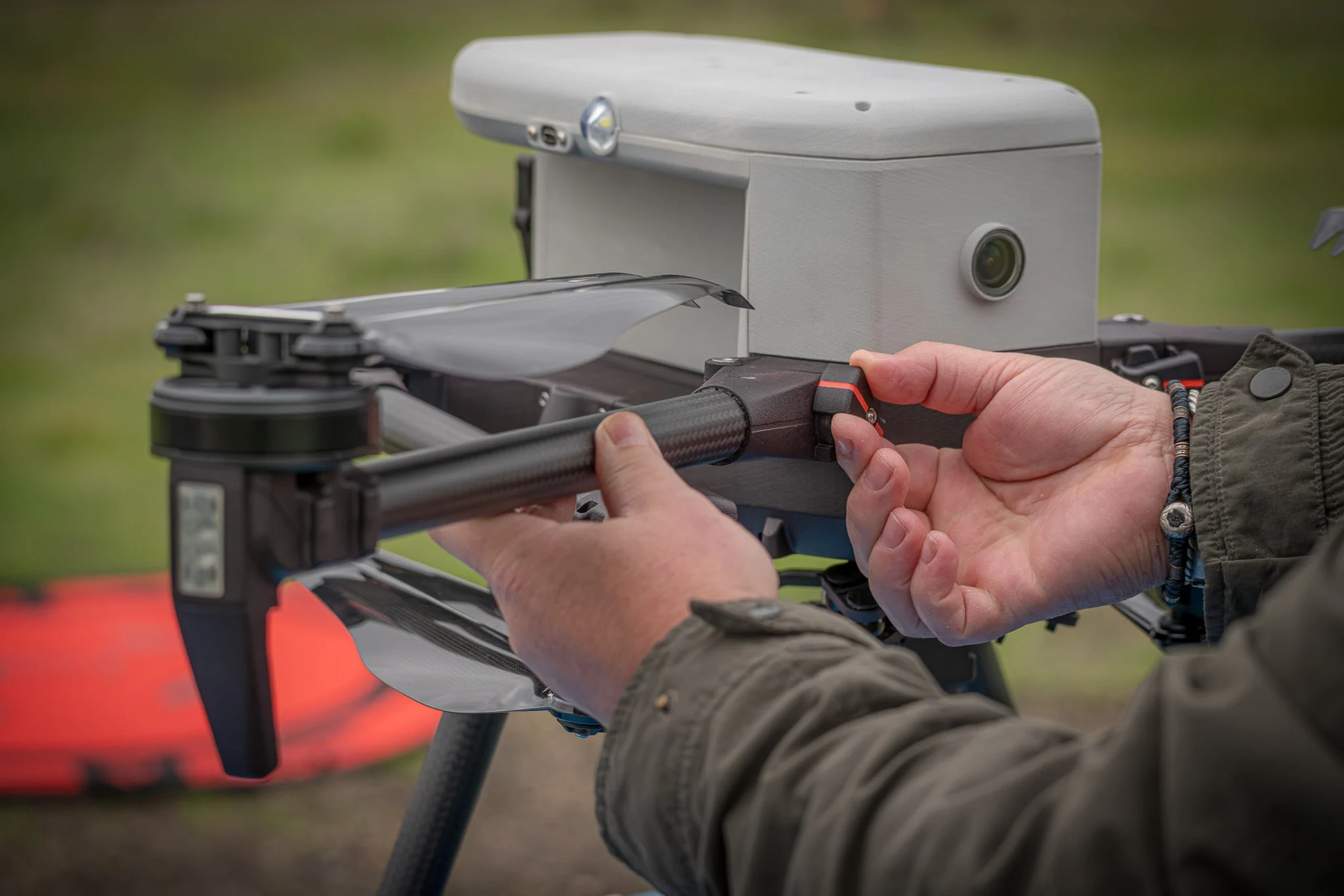
Tool-free mounting with safety locks and an adjustable payload rail supports LiDAR, optical, EO/IR, and multispectral sensors.
Field-ready portability
A compact folded footprint supports single-operator transport and efficient deployment between project sites.
Resilient navigation
Triple-redundant inertial sensing and dual GNSS/compass hardware support dependable professional operation.
U.S. platform support
Engineered, assembled, and supported in the United States, with Blue UAS and Green UAS certification.
Built for field work
See the platform in detail.
Built-in mechanical locks provide positive, flight-ready security.The adjustable payload rail balances professional mapping and imaging sensors.One aircraft can support LiDAR, optical, and multispectral missions.
Aircraft details
Platform specifications
Final endurance and performance vary with payload, configuration, conditions, and operating procedures.
Performance
Maximum flight time
54 minutes
Maximum ascent speed
5 m/s / 16 ft/s
Maximum descent speed
3 m/s / 10 ft/s
Maximum air speed
22 m/s / 49 mph
Wind resistance
10 m/s; gusts to 12 m/s
Operating temperature
-20°C to 45°C / -4°F to 113°F
Service ceiling
14,000 ft empty; 10,500 ft with 3.3 lb; 6,500 ft with 6.6 lb