BUILT IN THE USA. PROVEN EVERYWHERE.
LiDARUSA rentals

Your next project.
The right system.

Explore aerial and mobile LiDAR rental options. Tell us what you need to map, when you need it, and how you plan to collect.

Available to customers in the USA and to existing LiDARUSA customers worldwide.

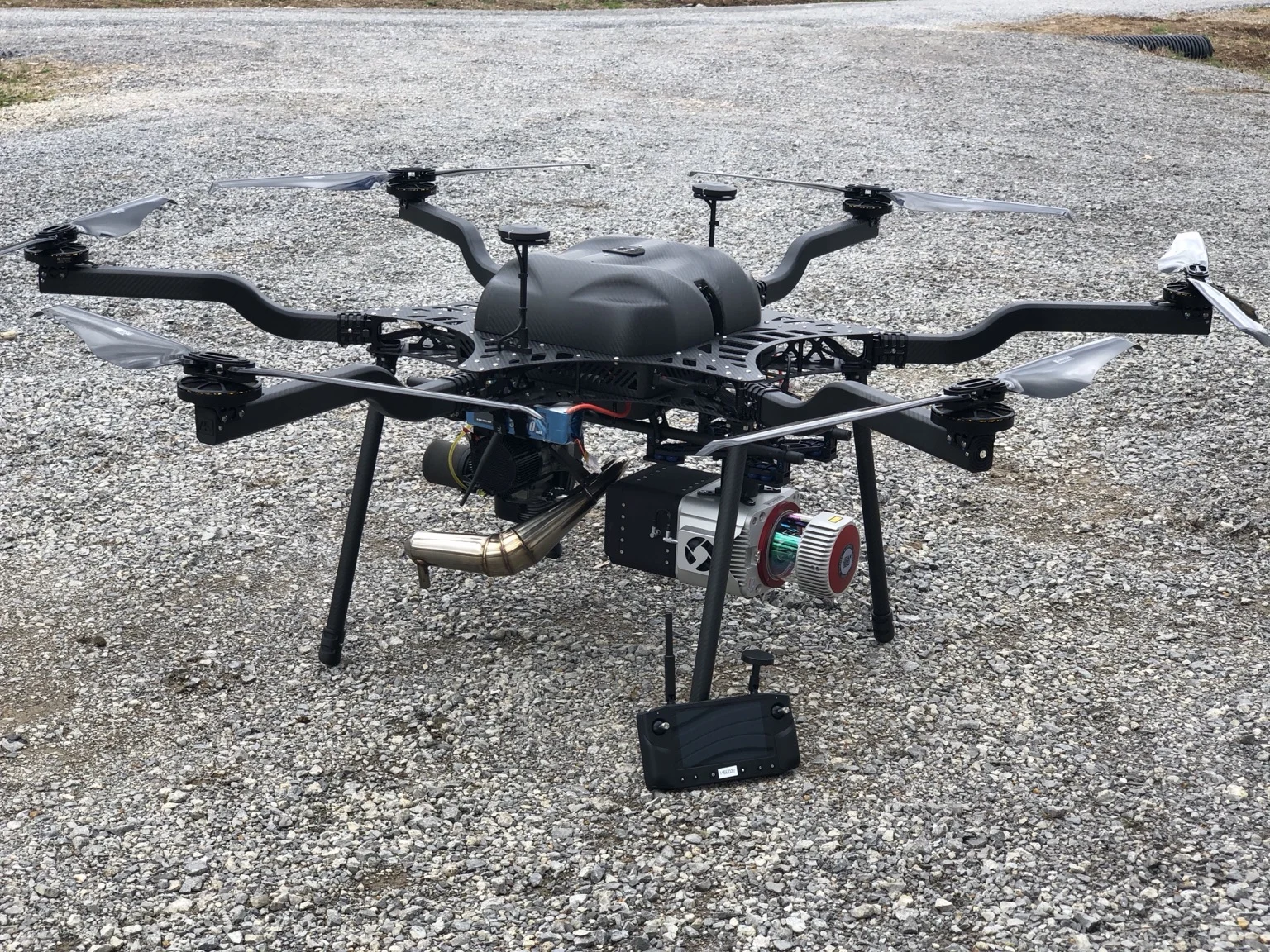
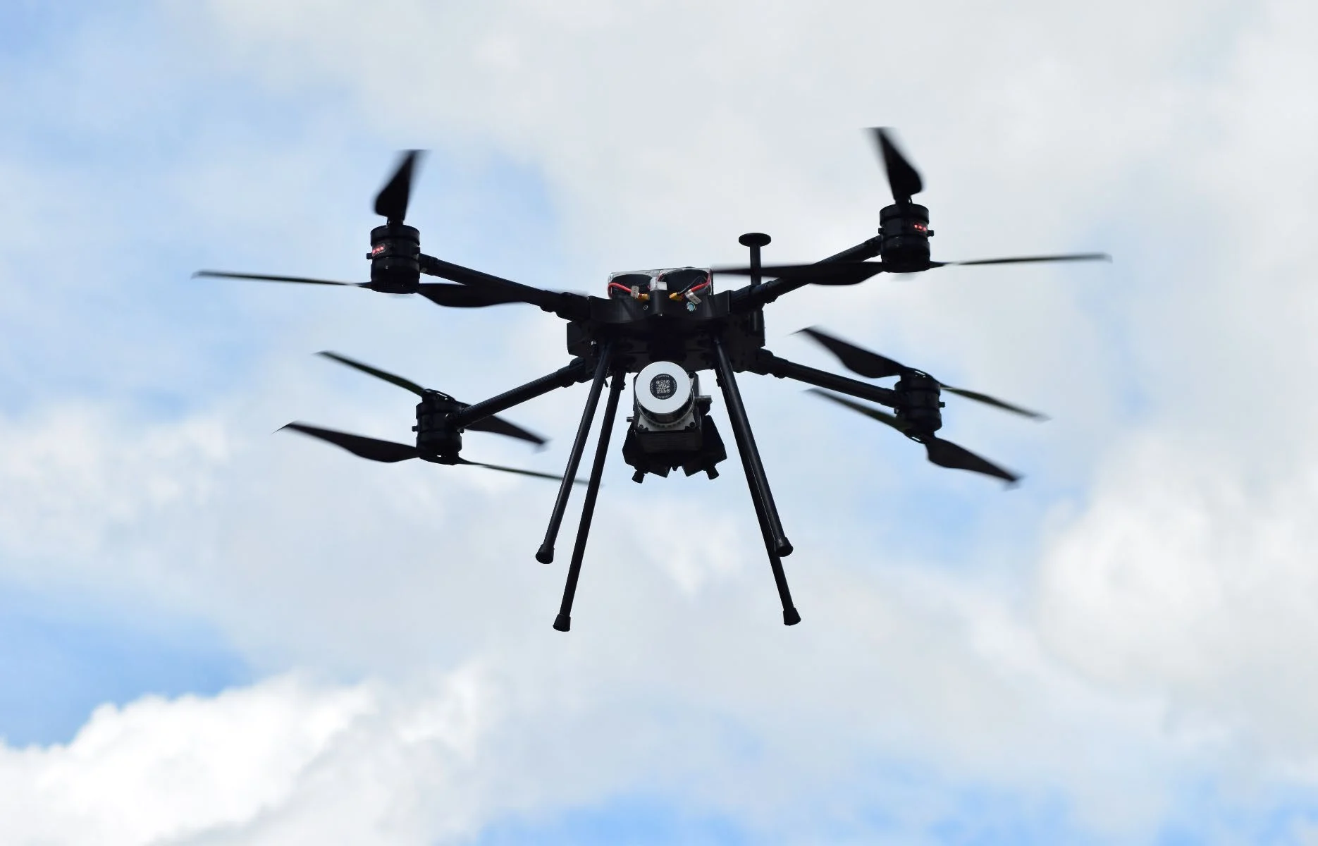
Surveyor 32 LiDAR-equipped UAV in flightAerial + mobile mapping
Choose your starting point

Five options. One rental conversation.

Explore the system details, then request a rental configuration for your work. Availability, rates, rental duration, and package contents are confirmed with your quote.

Surveyor 32 mapping system
01 / Versatile collection

Surveyor 32

A 32-channel system for terrain, corridor, and site mapping. Discuss aerial collection or a vehicle-based configuration for your project.

  • 32-channel, dual-return LiDAR
  • Integrated positioning and imagery
  • Aerial and mobile configurations
Surveyor VUX mapping system
02 / Precision-focused projects

Surveyor VUX

RIEGL VUX technology for demanding survey work, complex terrain, and precision corridors. Match the sensor configuration and platform to your deliverables.

  • RIEGL VUX sensor family
  • Aerial and mobile deployment options
  • Integrated acquisition and processing workflow
Snoopy ACE mapping system
03 / Compact aerial mapping

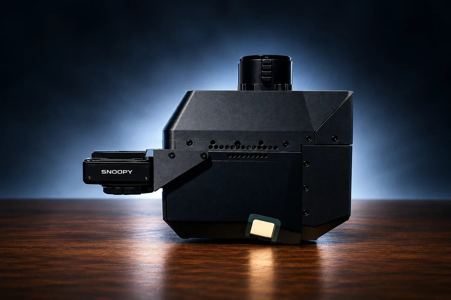
Snoopy ACE

A compact mapping system for aerial survey projects. Discuss aircraft integration, collection requirements, and the processing workflow with our team.

  • Compact airborne system
  • 80° field of view
  • UAV and helicopter integration options
Snoopy ACE 3 mapping system
04 / More angles. More detail.

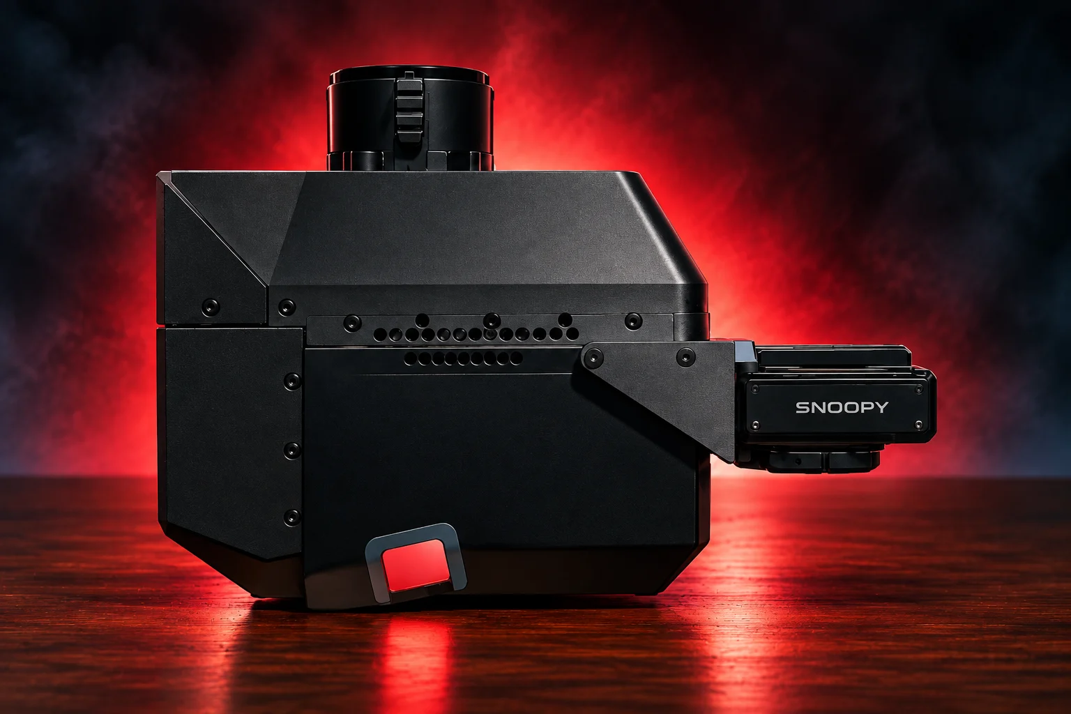
Snoopy ACE 3

Nadir, forward, and backward scan angles help capture more complete surface detail around complex geometry on aerial mapping projects.

  • Three scan angles: 0°, +10°, −10°
  • 80° field of view
  • High-resolution imaging integration
Highway Mapper mapping system
05 / Vehicle-based mapping

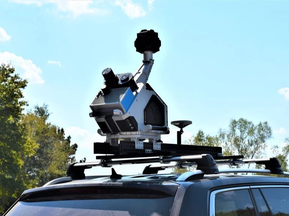
Highway Mapper

A mobile mapping option for roads, rail corridors, and infrastructure. Discuss the scanner arrangement, mounting, and imaging needed for your collection vehicle.

  • Single or multi-scanner configurations
  • Roadway and roadside asset collection
  • Integrated imaging and point-cloud workflow

System photos illustrate product configurations. Aircraft, vehicles, mounts, cameras, software, and other accessories are not assumed to be included; confirm the exact rental package with LiDARUSA.

Plan your rental

Start with the job ahead.

Tell us about the work

Share the project location, coverage, terrain, and required deliverables.

Match the configuration

Identify your aircraft or vehicle, mounting needs, and processing requirements. Ask about training and support options.

Confirm dates and pricing

Provide your preferred start date and rental duration so our team can confirm availability and quote the package.

Before shipping

Rental requirements

All of the following must be in place before your rental ships:

  • Inland marine insurance covering the equipment’s full replacement value.
  • A signed rental agreement.
  • A deposit. The deposit is waived for existing LiDARUSA customers.
  • The rental fee paid in full.

Rental eligibility: Rentals are available in the USA. Outside the USA, rentals are available only to existing LiDARUSA customers.

Plan my rental