Surveyor 32
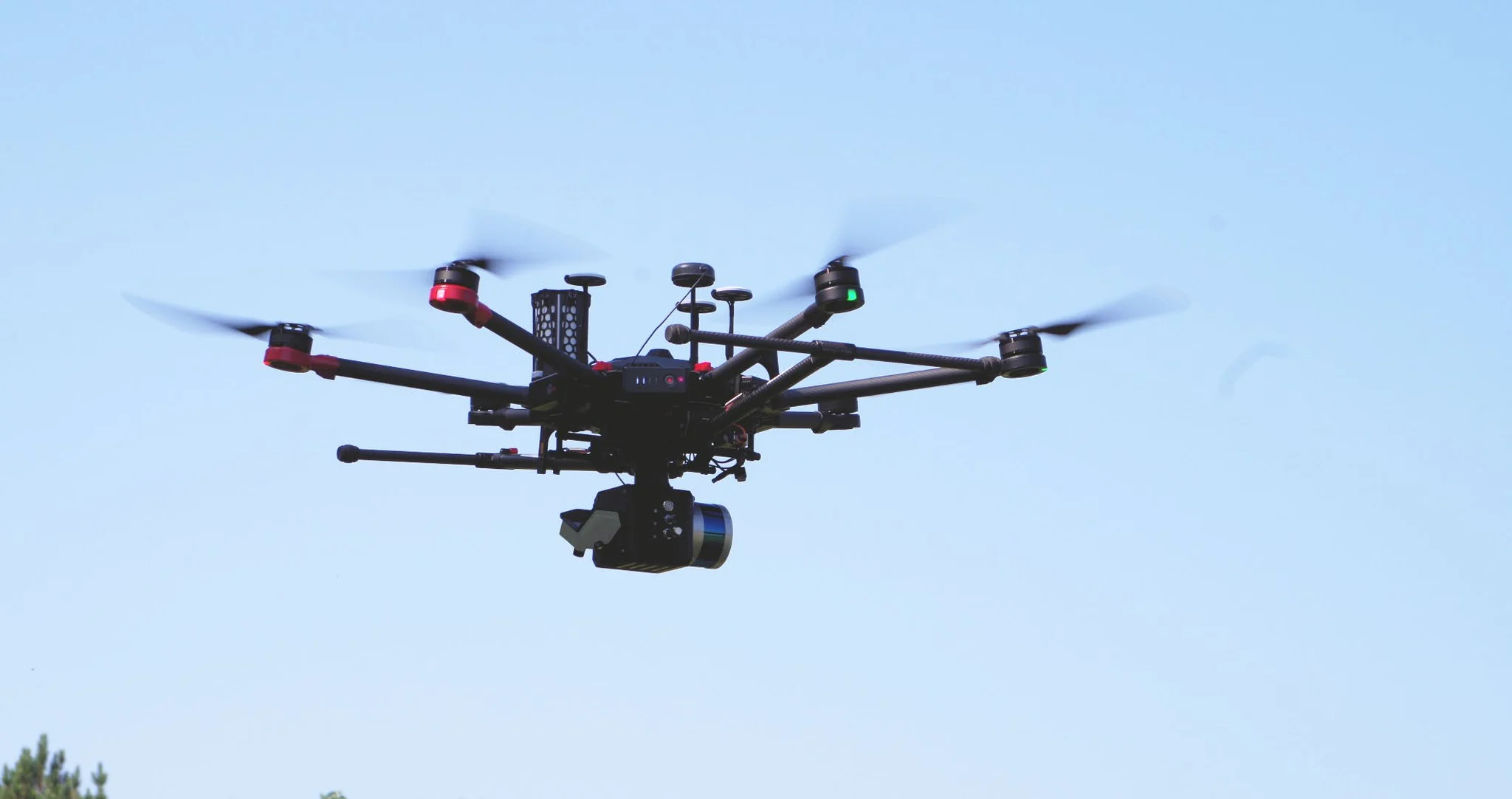
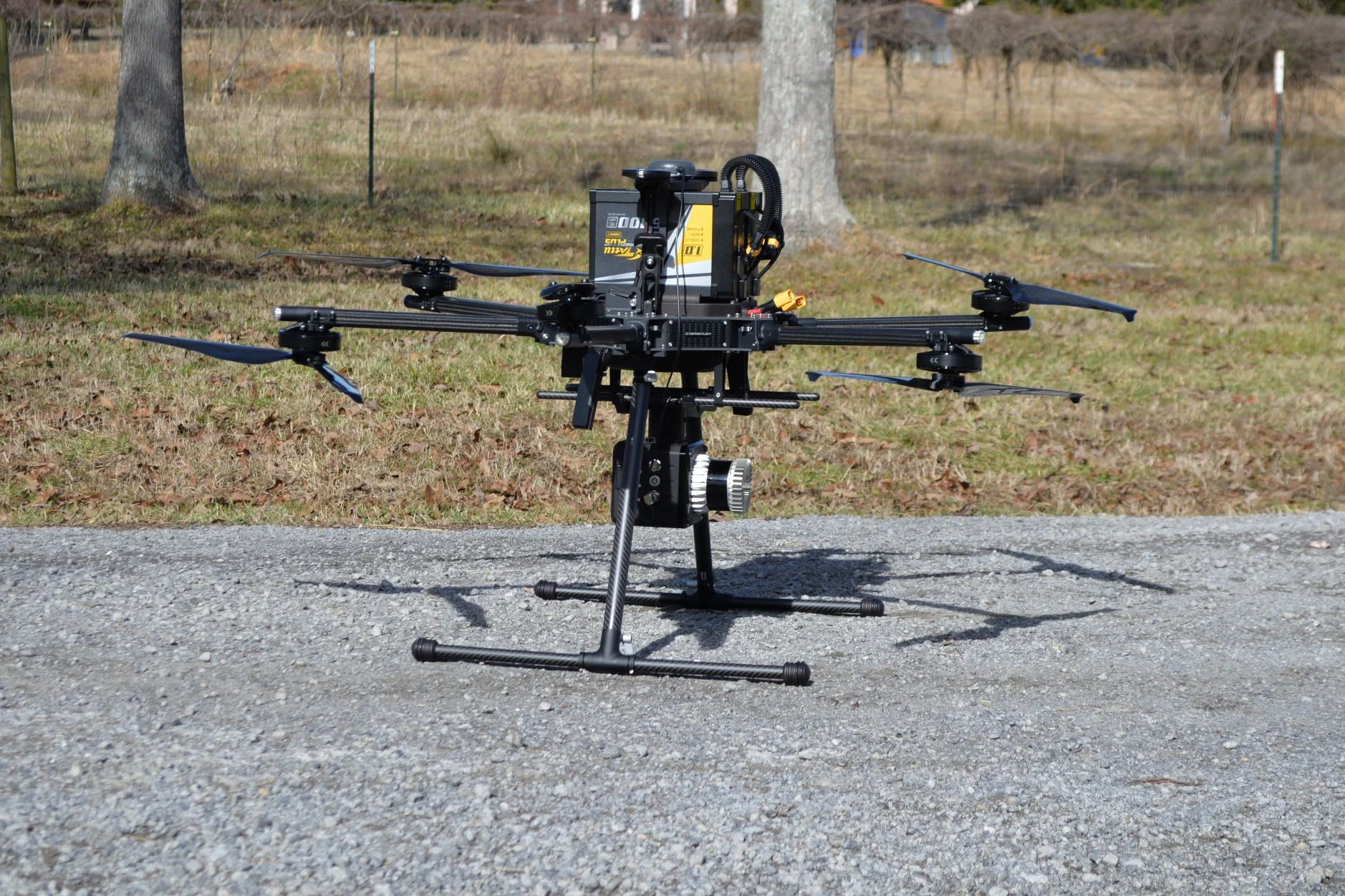
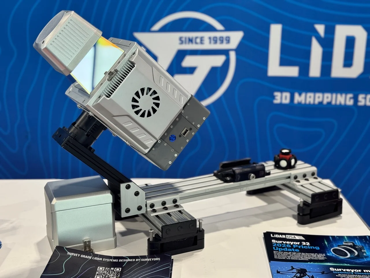
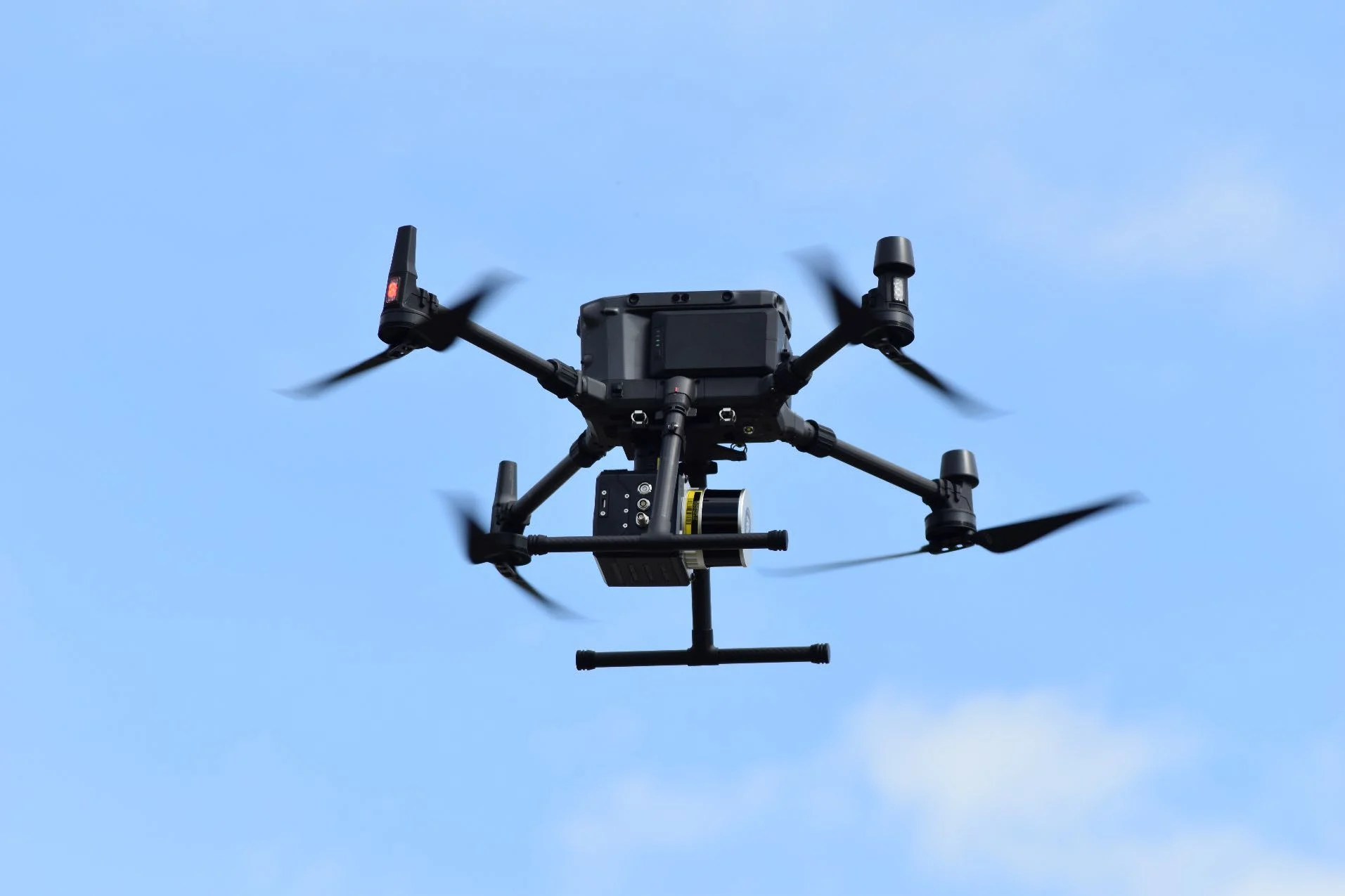
A UAV-first LiDAR mapping system built around a 32-channel, dual-return laser, tactical-grade positioning, and a single 61 MP camera for high-resolution imagery. The same core system can be upgraded for vehicle or backpack collection.
Surveyor family

A UAV-first LiDAR mapping system built around a 32-channel, dual-return laser, tactical-grade positioning, and a single 61 MP camera for high-resolution imagery. The same core system can be upgraded for vehicle or backpack collection.

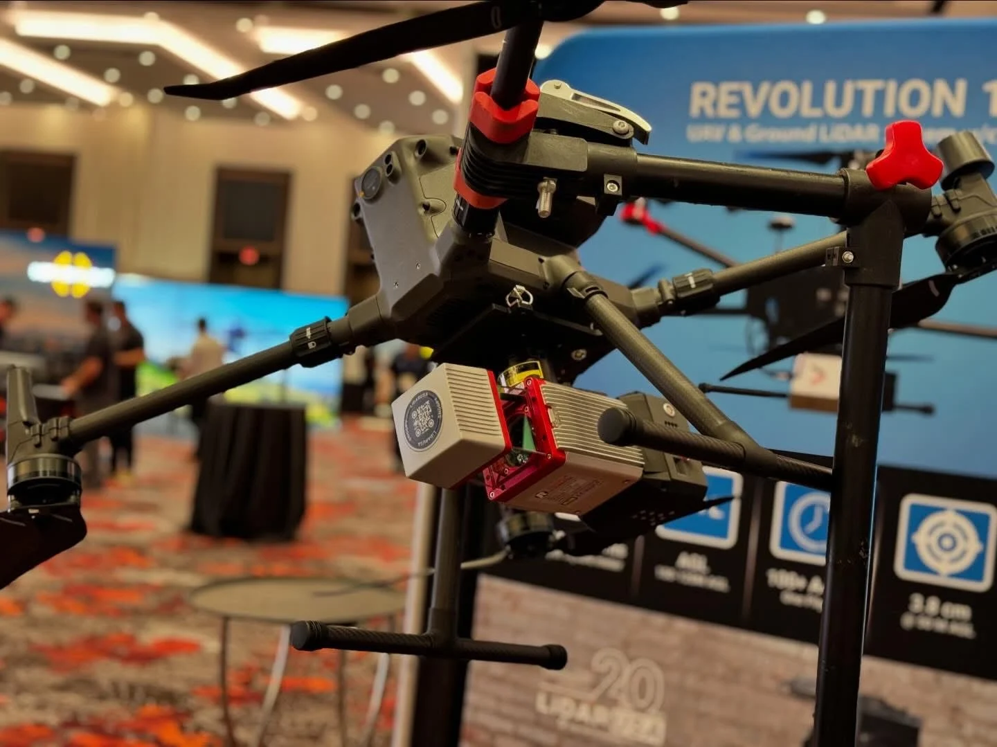
A UAV-first, dual-return LiDAR mapping system that combines a 16-channel laser with tactical-grade positioning, integrated storage, and a single 61 MP camera for high-resolution imagery. The same core system can be upgraded for vehicle or backpack collection.

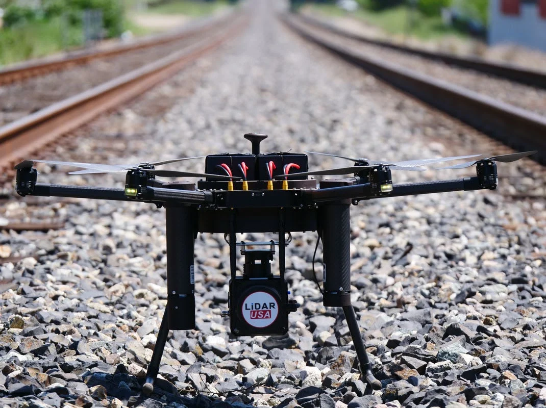
A productive UAV LiDAR system designed for large-area collection, with a field-upgrade path to vehicle or backpack mapping. The system combines up to 120-meter flight profiles, a compact 1.73 kg package, and LiDARUSA’s complete ScanLook processing workflow.

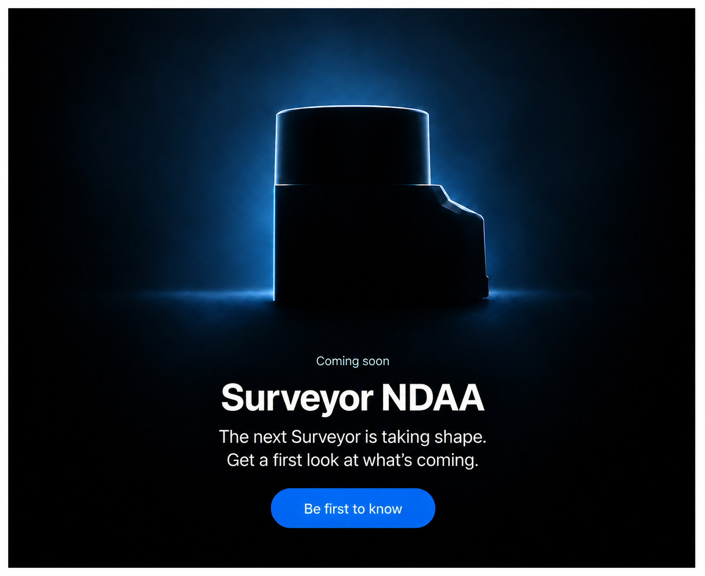
Surveyor NAV is currently being prepared for release. This page reserves its place in the LiDARUSA lineup while final specifications, imagery, platform options, and application guidance are completed.

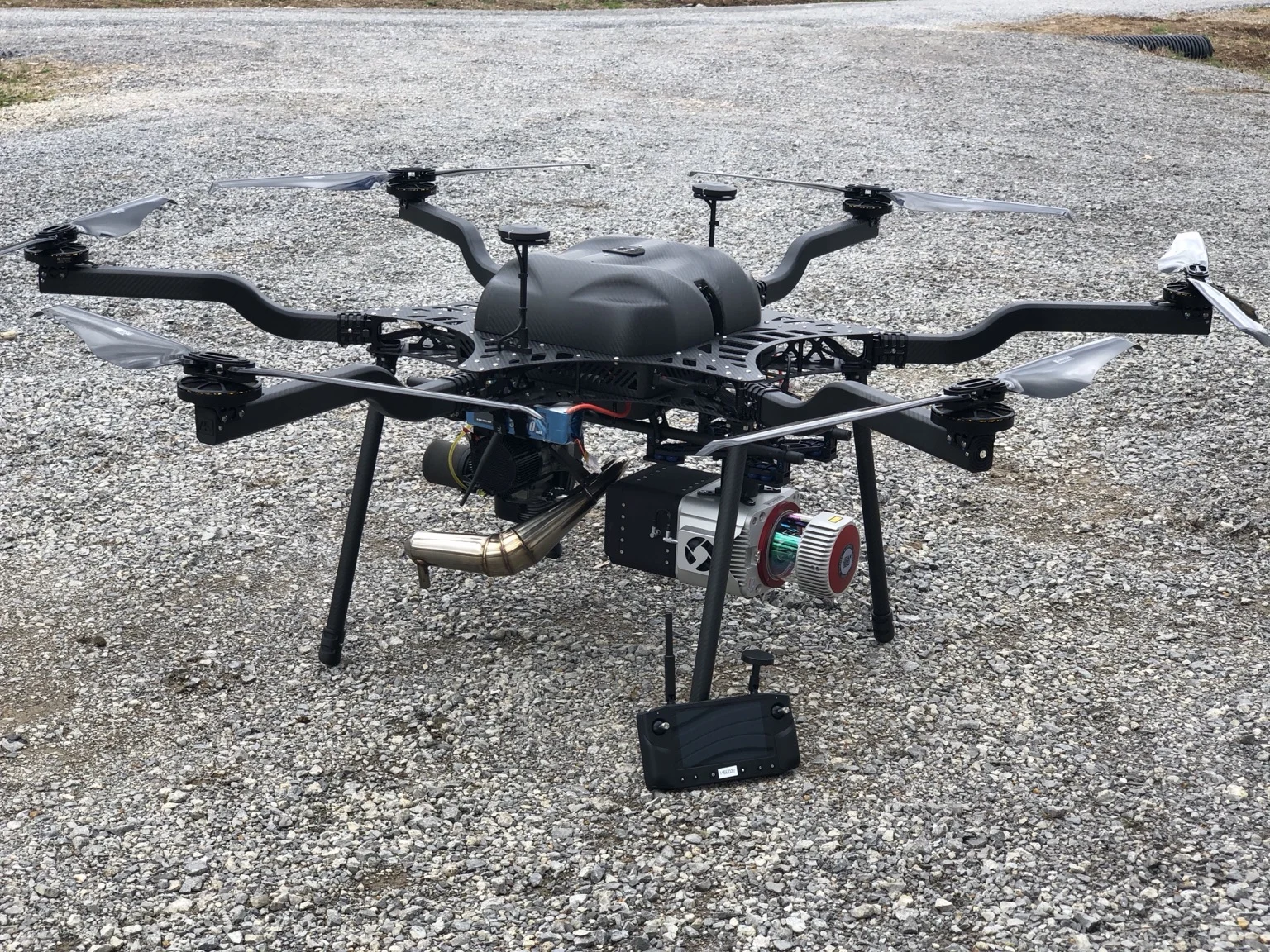
A high-accuracy Surveyor configuration built around RIEGL VUX technology and integrated for aerial, vehicle, or backpack deployment.

A survey-grade integration based on the RIEGL miniVUX family for crews that need strong ranging performance without moving to a larger VUX-class package.
Liberty family

A compact UAV LiDAR mapping package engineered for productive aerial collection, with an in-field path to ground-based vehicle or backpack deployment and a complete local processing workflow.


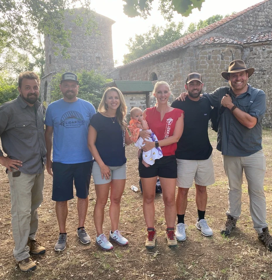
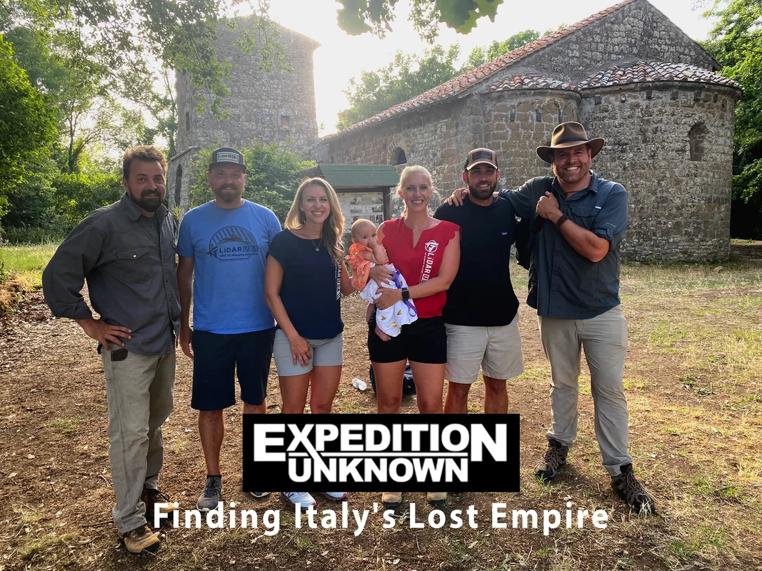
Finding Italy’s Lost Empire
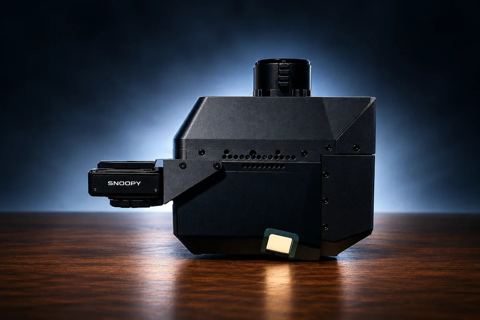
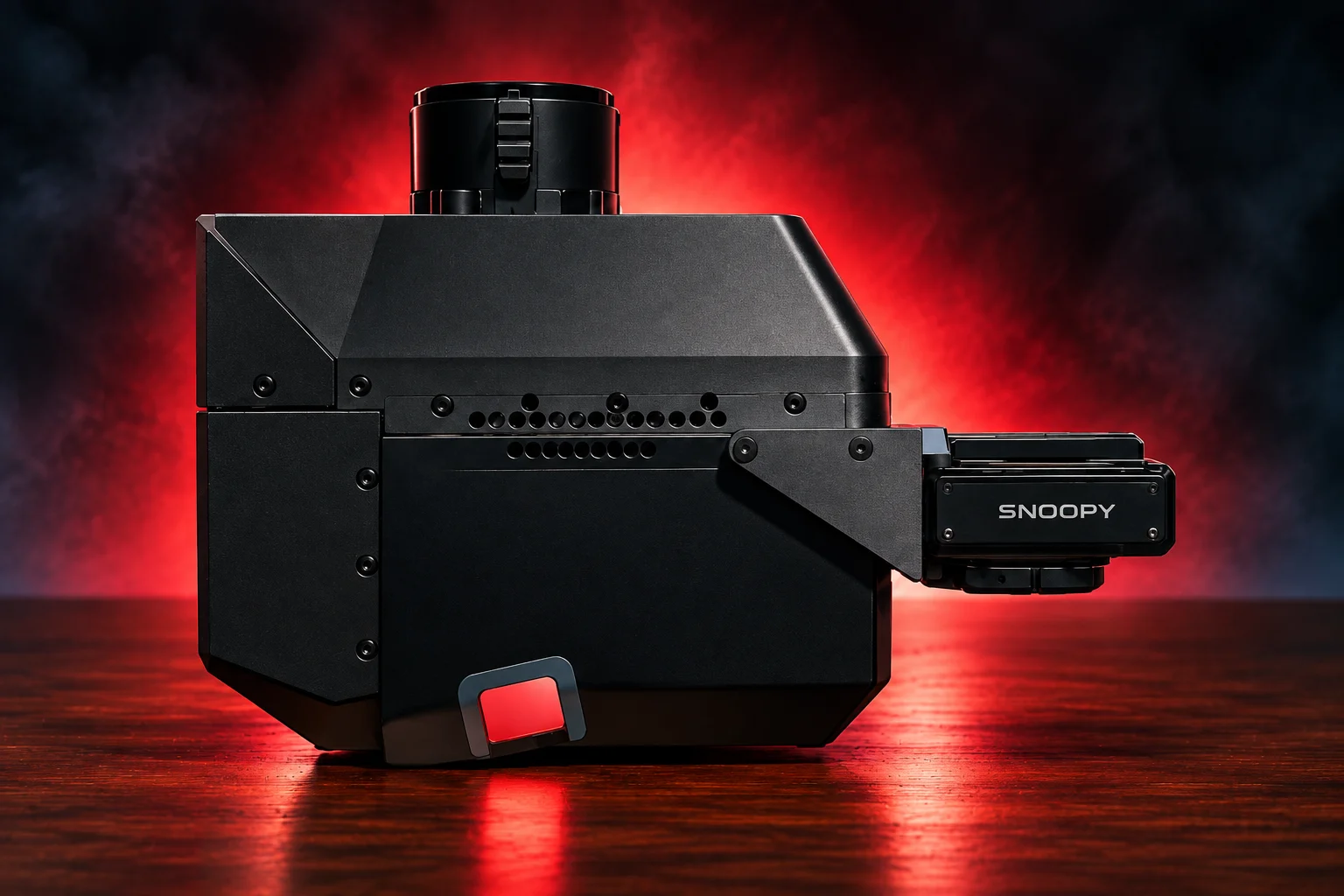
Snoopy ACE family

A rugged, space-efficient mapping system engineered for precise collection from UAV, helicopter, and blimp platforms.

The ACE 3 configuration adds nadir, forward, and backward scan angles for more complete surface detail from UAV, helicopter, and blimp platforms.

A 360-oriented ACE configuration for projects where surrounding geometry, vertical surfaces, and complete scene context matter as much as the ground below.
Highway Mapper family

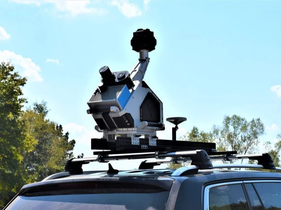
A configurable mobile mapping system for roadway, rail, and infrastructure work with single or multi-scanner options and integrated imaging.

Use the mission profile to share platform, environment, accuracy, and coverage goals.