
UAV-first, multi-platform by design
Fly the complete package on a professional aircraft, then upgrade the core system for vehicle or backpack collection as project needs expand.
Field notes, product updates, and mapping insights.
Professional survey performance in a compact UAV system.
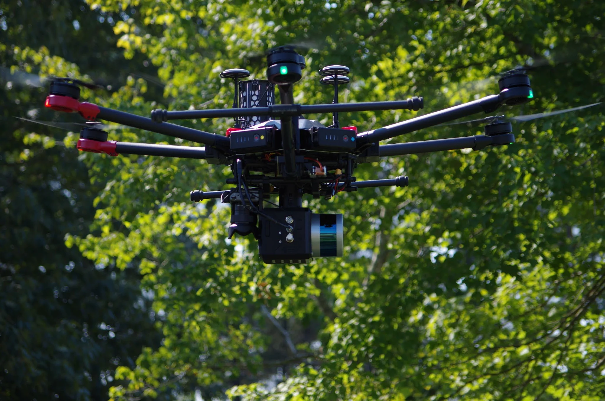
A UAV-first, dual-return LiDAR mapping system that combines a 16-channel laser with tactical-grade positioning, integrated storage, and a single 61 MP camera for high-resolution imagery. The same core system can be upgraded for vehicle or backpack collection.
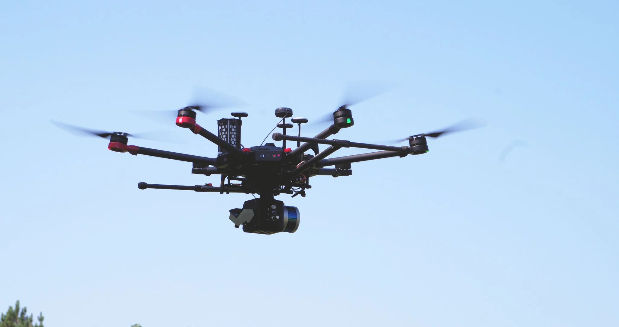
Final specifications and performance depend on the selected sensor, INS, camera, aircraft or vehicle, operating conditions, and project requirements.
Fly the complete package on a professional aircraft, then upgrade the core system for vehicle or backpack collection as project needs expand.
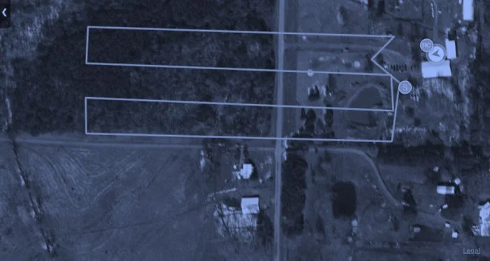
Sixteen laser channels and up to 640,000 points per second in dual-return operation support productive terrain, corridor, and site mapping.
A tactical-grade IMU, high-gain GNSS antennas, data logger, control box, and 128–256 GB of external storage form one field-ready package.
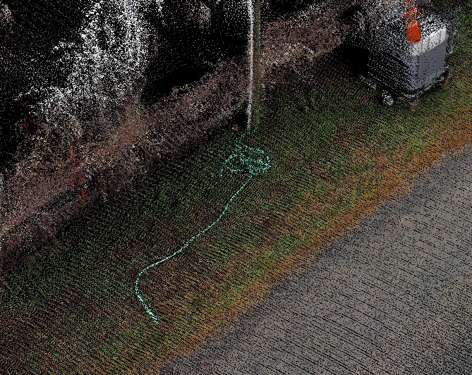
A single 61 MP camera delivers high-resolution imagery for detailed point-cloud colorization.
A dovetail mount with a shock-absorbing dampener plate makes aircraft integration efficient while protecting the mapping payload.
LiDARUSA tools support acquisition, PPK trajectory processing, georeferencing, merging, control adjustment, and export to LAS, LAZ, TXT, XYZ, E57, and established production software.
Move across the chart to compare estimated points per square meter at representative flight speeds and flying heights. These shared planning curves are preliminary; replace them with model-specific figures when available, and confirm final results against the aircraft, sensor, and operating configuration.
Core performance details for planning aircraft integration, collection altitude, and point-cloud density.