BUILT IN THE USA. PROVEN EVERYWHERE.
Case studies

Real projects.
Mapping in the field.

See how LiDARUSA systems and field support come together to document complex scenes and historic places. Follow the challenge, the collection workflow, and the resulting data.

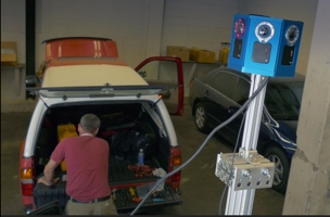
Snoopy mobile mapping equipment and its blue camera array beside a police SUV during preparation in Baltimore
Public safety & forensics · Baltimore, Maryland

Technology has evolved. The goal has always been the same.

In 2015, LiDARUSA brought Snoopy mobile mapping and 360-degree imagery to Baltimore to help document damage in 3D. More than a decade later, the technology has evolved. The purpose remains the same.

Read the Baltimore case study
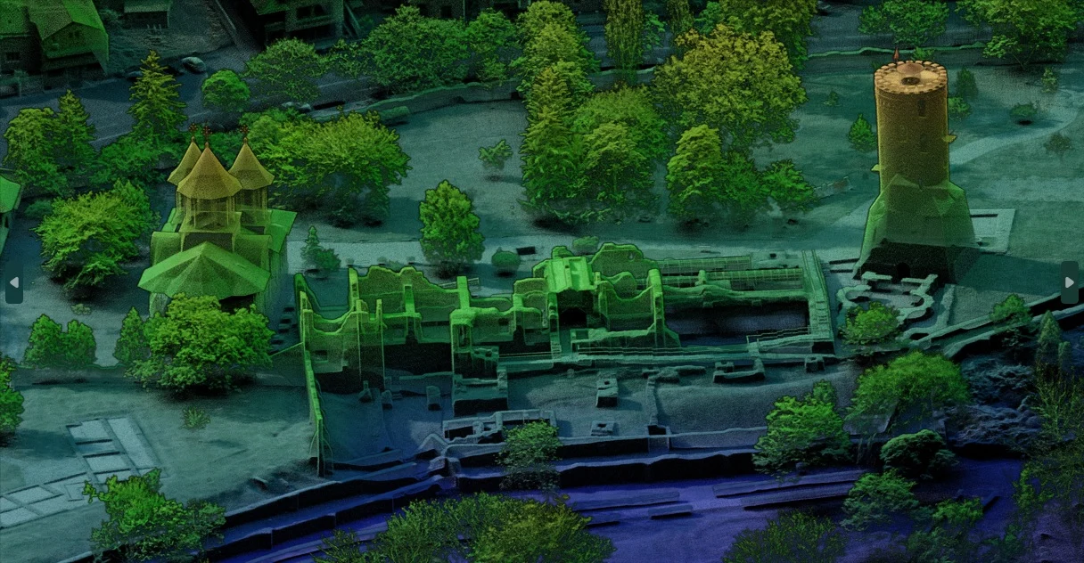
LiDAR point cloud of the Royal Court in Târgoviște, Romania
Cultural heritage · Târgoviște, Romania

Mapping Dracula’s history.

How LiDARUSA helped Global Digital Heritage capture a historic Romanian landmark with aerial LiDAR, oblique imagery, and hands-on field support.

Read the Romania case study
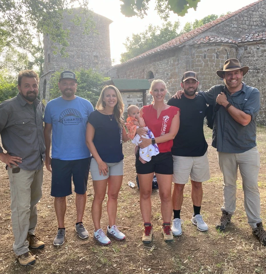
LiDARUSA with the Expedition Unknown team in Italy
Archaeology & cultural heritage · Italy

Finding Italy’s Lost Empire.

A week of Surveyor 32 scanning helped the team investigate an ancient Etruscan village and terrain hidden by dense vegetation.

Read the Italy case study
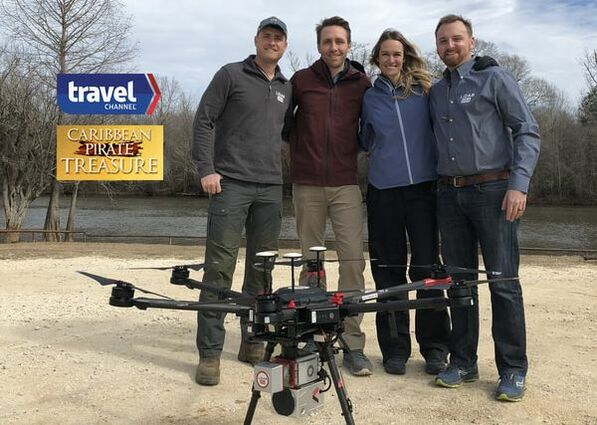
LiDARUSA with Philippe and Ashlan Cousteau beside a Surveyor-equipped UAV for Caribbean Pirate Treasure
Terrain investigation · Florida Gulf Coast

Mapping the landscape behind a pirate legend.

A UAV-mounted Surveyor miniV1 helped reveal mounds beneath swamp vegetation, providing terrain and contour data for archaeological investigation.

Read the Gasparilla case study
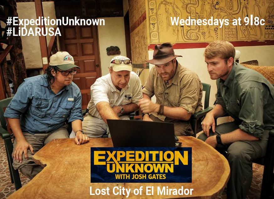
The Expedition Unknown team and LiDARUSA reviewing mapping data with Josh Gates for the lost city of El Mirador
Archaeology & cultural heritage · El Mirador, Guatemala

Revealing El Mirador beneath the jungle.

A 12-day expedition with UAV-mounted Snoopy HD revealed roads, temples, and pyramid terrain concealed beneath dense jungle.

Read the El Mirador case study
LiDARUSA operating a LiDAR-equipped UAV over the tundra on Adak Island during filming for Netflix’s Pirate Gold of Adak Island
Terrain investigation · Adak Island, Alaska

Mapping a path through Adak’s tundra.

Surveyor miniVUX2 terrain data helped outline routes through Adak’s tundra while the crew worked around high winds and intermittent snow.

Read the Adak Island case study

What could LiDAR do for your work?

Explore application workflows or tell us about your next project.

Explore applications Get my recommendation & pricing