
Finding Italy’s Lost Empire.
Mapping an Etruscan landscape with Surveyor 32
- Location
- Italy
- Project date / broadcast
- June 2022
- System used on this project
- Surveyor 32
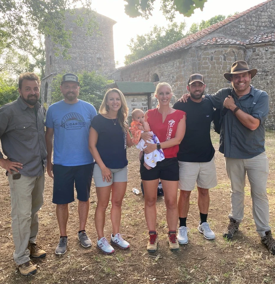
In June 2022, LiDARUSA worked with Dr. Davide Zori of Baylor University in Texas and Josh Gates of Expedition Unknown to help map an ancient Etruscan village and uncover tombs that had remained intact.
The challenge
Search for surviving tombs in an Etruscan settlement later conquered by the Roman Empire. Thought to have been lost to grave robbers and thieves, the tombs lay in a landscape buried by volcanic ash and covered with dense vegetation.
The setup
Over the course of a week, the team used a Surveyor 32 to scan the village and surrounding mountains, mapping terrain hidden beneath the vegetation.
The result
The Surveyor 32 demonstrated its capabilities in challenging conditions, helping locate what may be one of the last known untouched Etruscan tombs.
What’s hidden in your landscape?
Tell us about your terrain, collection platform, and required deliverables. We’ll help you evaluate the right system configuration.
Get my recommendation & pricing