
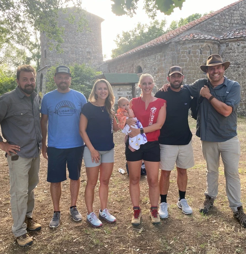
Italy
Finding Italy’s Lost Empire.
System used: Surveyor 32 · June 2022
A week of Surveyor 32 scanning helped the team investigate an ancient Etruscan village and terrain hidden by dense vegetation.
Read the Italy case studyField notes, product updates, and mapping insights.
From ancient settlements beneath dense vegetation to historic places above ground, LiDAR gives investigators a detailed spatial record to explore.
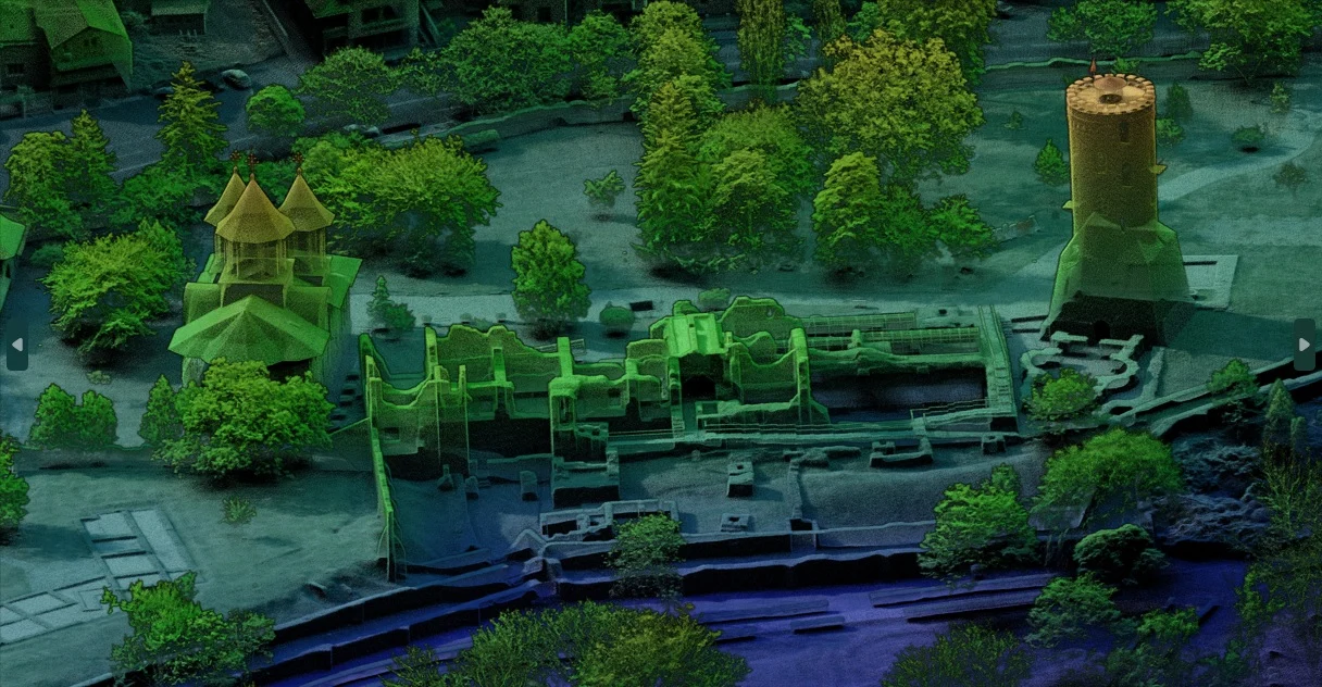
Bare-earth models and contour maps can help teams investigate landforms concealed by vegetation. In the field stories below, terrain data revealed mounds, roads, and other features for closer study.
Define the area, vegetation, collection platform, and required deliverables before choosing a system. Plan how point clouds, terrain models, and contours will support the researchers and archaeologists using the data.
A mapped feature is a starting point for investigation—not proof of a tomb, buried treasure, or historical identity. Pair the spatial record with archaeological expertise and ground investigation.
Explore archaeological mapping and terrain investigations from Italy and Guatemala to Florida and Alaska. Each story shows the original system and connects you with relevant systems for work today.
System used: Surveyor 32 · June 2022
A week of Surveyor 32 scanning helped the team investigate an ancient Etruscan village and terrain hidden by dense vegetation.
Read the Italy case study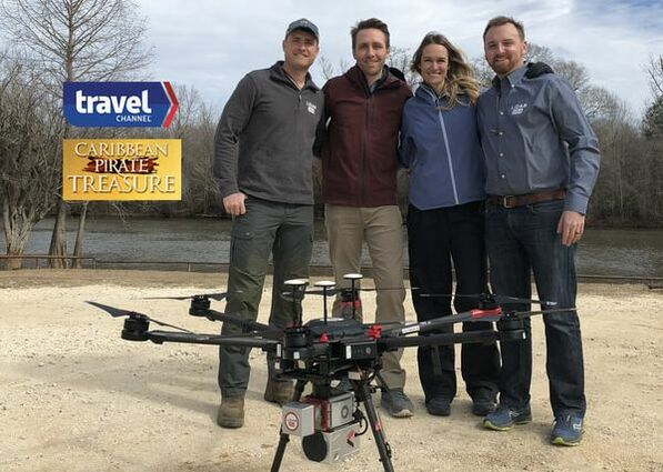
System used: Surveyor miniV1 · 2018 broadcast
A UAV-mounted Surveyor miniV1 helped reveal mounds beneath swamp vegetation, providing terrain and contour data for archaeological investigation.
Read the Gasparilla case study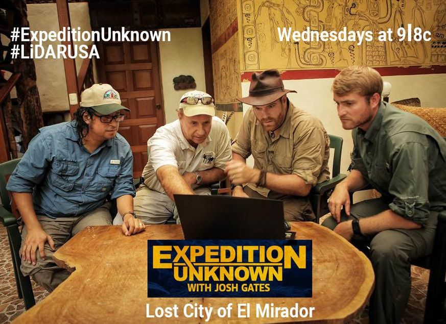
System used: Snoopy HD · June 2017
A 12-day expedition with UAV-mounted Snoopy HD revealed roads, temples, and pyramid terrain concealed beneath dense jungle.
Read the El Mirador case study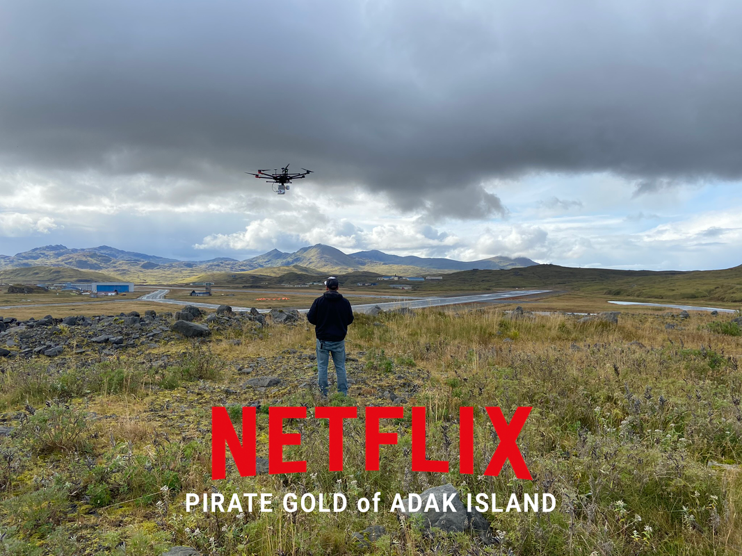
System used: Surveyor miniVUX2 · September 2020 filming
Surveyor miniVUX2 terrain data helped outline routes through Adak’s tundra while the crew worked around high winds and intermittent snow.
Read the Adak Island case studyHow LiDARUSA helped Global Digital Heritage capture a historic Romanian landmark with aerial LiDAR, oblique imagery, and hands-on field support.
Tell us about the landscape and what your team needs to deliver. We’ll help you evaluate the right LiDAR system configuration.
Get my recommendation & pricing