
Revealing El Mirador beneath the jungle.
A Snoopy HD expedition into Guatemala’s ancient Maya landscape
- Location
- El Mirador, Guatemala
- Project date / broadcast
- June 2017
- System used on this project
- Snoopy HD
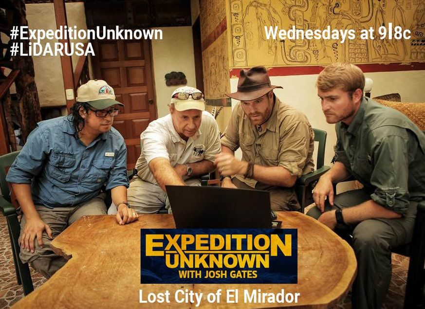
In June 2017, Josh Gates and Expedition Unknown invited LiDARUSA to help create a detailed 3D map of El Mirador, an ancient Maya city deep in the Guatemalan jungle in Central America.
The challenge
Map a remote archaeological landscape concealed by dense jungle. The 12-day expedition took the team far from populated areas, where giant snakes, huge spiders, and large mosquitoes added to the adventure.
The setup
Using a UAV-mounted Snoopy HD LiDAR system, the team collected data and created a bare-earth model of the pyramid and surrounding terrain.
The result
Analysis revealed long roads and temples dotting the landscape. Hidden from ordinary view by dense vegetation, these features became visible in the LiDAR data.
What’s hidden in your landscape?
Tell us about your terrain, collection platform, and required deliverables. We’ll help you evaluate the right system configuration.
Get my recommendation & pricing