From land
to building.
Bring terrain, slopes, and existing features into a shared 3D record. Give developers, surveyors, and engineers the information to evaluate a property before committing to a design.
Explore land developmentStart with the site.
Roads, vegetation, and access give you the first view. A measured survey adds the shape and elevation information a photograph alone cannot provide.
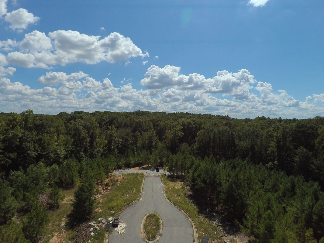
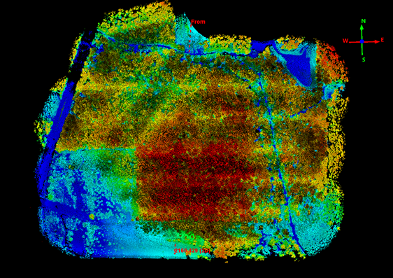
Bring the landscape into 3D.
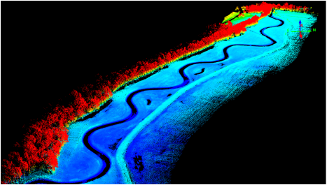
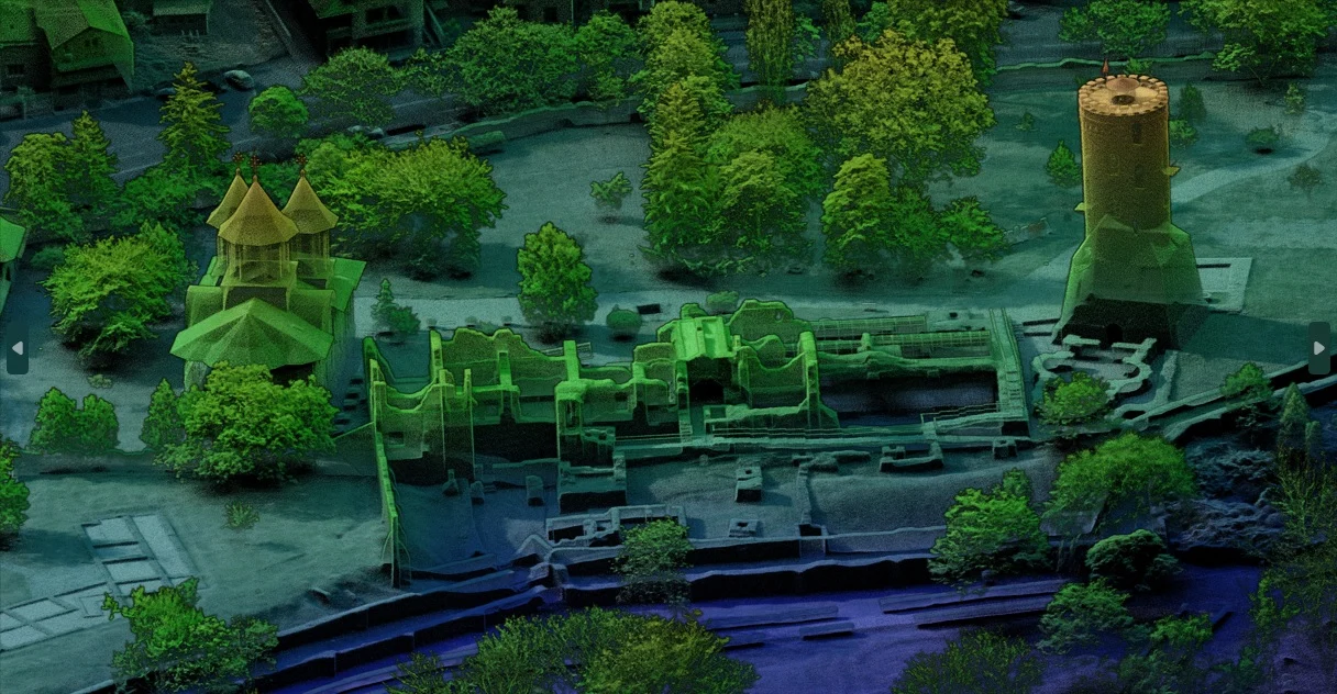
Explore measured features together in a point cloud. Color adds visual context when suitable imagery has been collected and aligned.
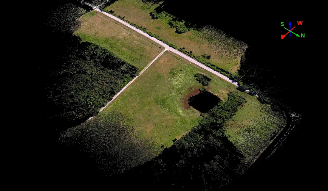
Separate the features.
Classification helps organize the point cloud for the task. Review the resulting classes and ground coverage before building terrain outputs.
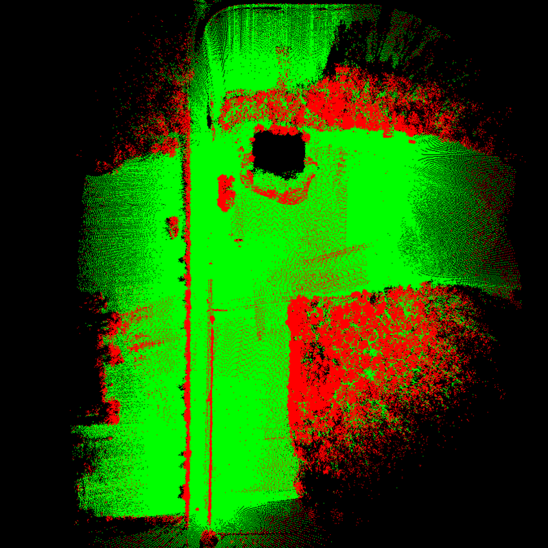
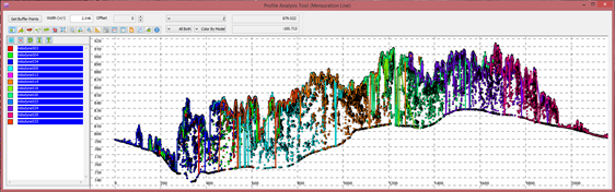
Look across the landscape.
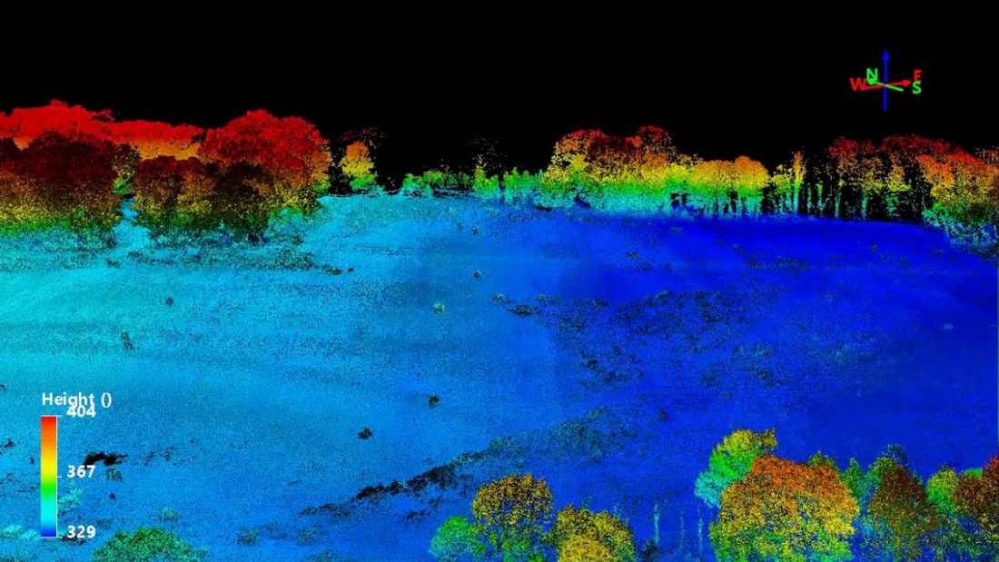
A profile provides another way to inspect height changes and the relationship between the ground and features above it.
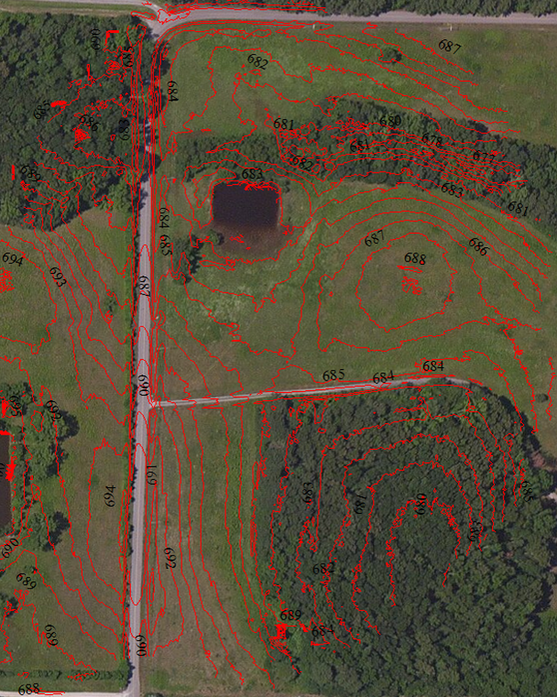
Read the shape of the land.
Elevation views help communicate changes in height. Use them to focus questions about slopes, low areas, and potential layout options.
Give design a measured base.
Prepare terrain models and contours in agreed coordinates and formats. Engineers can use the existing-ground surface to explore grading and compare design options.
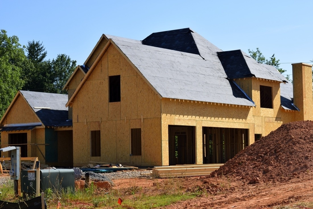
Move from plans to building.
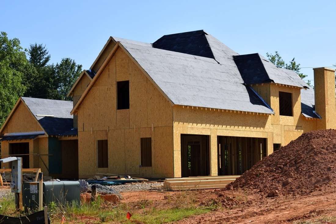
Carry the measured ground into planning, grading, and construction decisions. The goal is a site the project team can understand before the building takes shape.
Click the right page to turn forward. Click the left page to go back.
- Evaluate the site
- Review slopes, low areas, access, and potential building-pad locations.
- Plan the earthwork
- Compare existing and proposed surfaces to support cut-and-fill decisions.
- Hand off useful data
- Prepare point clouds, bare-earth models, and contours for CAD and GIS.
Terrain data supports planning. It does not establish boundaries or identify buried utilities. Construction photo is illustrative, not a documented project. These examples show different views of a LiDAR workflow, not a before-and-after record of one site.