
Evaluate the property
Review elevation changes, steep areas, and depressions. Use the terrain to focus site visits and identify questions for further investigation.
Field notes, product updates, and mapping insights.
LiDAR for real estate development and site planning.
Bring terrain, slopes, and existing features into a measured 3D record. Give your team a clearer starting point for evaluating property and developing the design.
Explore the deliverables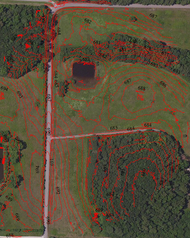
LiDAR measures the site’s three-dimensional surface. Processed terrain data can help your team evaluate slopes, review low areas, compare access options, and prepare a base for engineering design—before committing to a layout.
A photograph shows what a site looks like. A measured terrain model adds the elevation information your team needs to explore how it could work.
Review elevation changes, steep areas, and depressions. Use the terrain to focus site visits and identify questions for further investigation.
Give engineers a base for exploring road alignments, building-pad locations, grading concepts, and drainage paths.
Compare the surveyed existing surface with a proposed design surface to support cut-and-fill estimates and grading decisions.
Terrain informs the decision. It does not, by itself, establish property boundaries, confirm wetlands, identify buried utilities, or determine what an unusual landform represents.
Agree on the outputs before collection. The right deliverables depend on the project stage, required accuracy, and software your team uses.
A spatial record of measured terrain and visible features. Where suitable imagery is collected and aligned, a colorized point cloud adds visual context.
A surface built from classified ground returns. It helps reveal terrain beneath vegetation where the laser has reached the ground through gaps.
Derived terrain views help teams interpret elevation changes and compare potential layouts. Contour intervals should suit the data quality and project requirements.
Deliver point clouds and terrain outputs in agreed formats and coordinates, so the survey and engineering teams can use them in their design workflow.
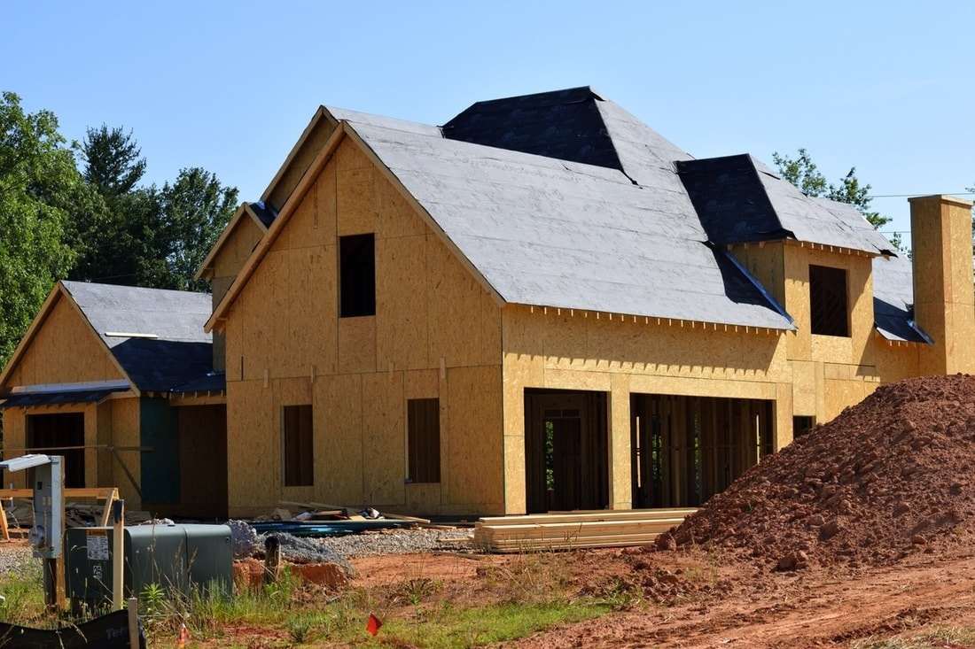
Understanding the terrain early helps your team explore practical options before moving soil. Engineers can use the existing-ground surface to assess grade changes, access, and the relationship between proposed features.
Later surveys can document changes as work progresses. Meaningful comparisons require consistent coordinates, appropriate accuracy, and a clear record of when each dataset was collected.
One shared reference helps developers, surveyors, and engineers discuss the same site conditions.
Successful mapping connects the field collection plan to the decisions the finished data needs to support.
Set the area, accuracy, coordinate system, and deliverables. Review site access, vegetation, and collection constraints.
Choose an aerial or ground platform to suit the site. Plan coverage, control, and imagery around the required detail.
Process positioning data, align passes, classify ground points, and assess accuracy using independent checkpoints.
Prepare agreed point-cloud and terrain outputs. Give the design team the coordinates, methods, and quality information it needs.
Start with the deliverable, then match the LiDAR sensor, positioning system, platform, imagery, and processing software to the job.
LiDARUSA can help you evaluate a configuration around these requirements.
Understand LiDAR accuracyConsider the area, terrain, launch locations, and whether aerial, vehicle-mounted, or combined collection makes sense.
Plan for canopy conditions and the ground sampling needed to support the intended terrain model.
Define horizontal and vertical requirements, and decide whether imagery will help interpretation or communication.
Balance payload, endurance, ease of use, processing capability, and budget across the complete configuration.
It can record ground returns where laser pulses pass through gaps in vegetation. Dense foliage or undergrowth can limit coverage. Season, collection geometry, sensor selection, and classification all affect the resulting terrain model.
Coverage depends on the aircraft, payload, terrain, flight plan, overlap, and required point density. Plan around the deliverable rather than a fixed acres-per-flight claim.
Terrain patterns can flag areas for further investigation. LiDAR alone does not confirm wetlands or establish the significance of mounds, depressions, or other landforms. Those questions need appropriate field assessment and specialist interpretation.
LiDAR supplies measured surface information that can support survey and engineering work. The project still needs the relevant boundary information, control, field checks, and professional interpretation for its intended use.
Yes, when the deliverables are prepared in compatible formats with the correct coordinates and units. Agree on point-cloud, surface, and contour requirements with the engineering team before collection.
Tell us the acreage, vegetation, required accuracy, and deliverables. We’ll help you choose the LiDAR configuration that fits.