
The scanner
Range measurement, surface reflectivity, and the angle of the laser on the target affect the recorded points.
Field notes, product updates, and mapping insights.
What makes a point cloud accurate? The sensor, the positioning, and the way you collect and process the data all play a part.
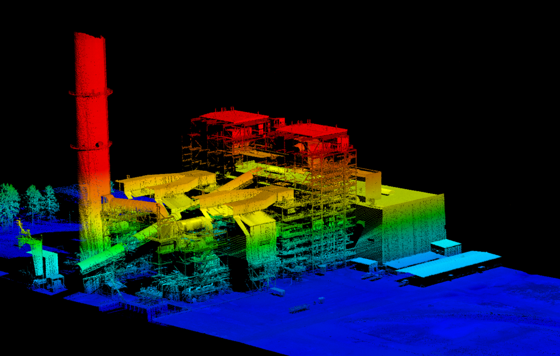
There is no single accuracy number for every LiDAR project. Start with the accuracy your deliverable needs, choose a system and workflow that can meet it, and verify the finished data against independent surveyed checkpoints.
A point cloud can preserve the shape of a structure while still being offset from its surveyed position. Relative and absolute accuracy describe different parts of the result.
How well measurements within the dataset agree with the actual geometry, and how consistently overlapping scans fit together.
How closely the point cloud agrees with independently surveyed positions in the project’s coordinate reference system.
The shape stays consistent, but the whole dataset is offset. Good relative accuracy alone does not prove absolute accuracy.
Conceptual diagrams. No scale, product performance, or automatic correction is implied.
Evaluate the full measurement workflow. A scanner specification describes one component; your deliverable reflects the performance of the complete system.
Range measurement, surface reflectivity, and the angle of the laser on the target affect the recorded points.
The trajectory describes where the sensor was and how it was oriented. Satellite visibility and inertial performance matter throughout collection.
Sensor alignment, mounting offsets, and synchronized timestamps connect laser measurements to the platform’s movement.
Plan range, speed, overlap, and visibility around the features you need. More points alone do not establish higher accuracy.
Well-distributed surveyed control supports alignment and adjustment. Its own uncertainty remains part of the measurement workflow.
Review the trajectory, check overlapping passes, apply suitable adjustments, and evaluate the final result with independent checkpoints.
Ask what the number means. A useful accuracy statement identifies the metric, direction, test conditions, and validation method.
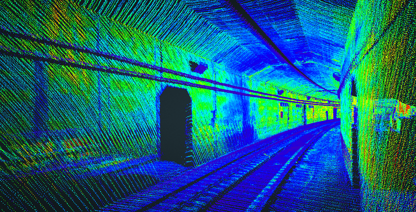
For some tasks, a carefully configured and validated mobile mapping workflow can meet the same project tolerance as terrestrial scanning. The answer depends on the equipment, scene, control, and required deliverable.
A static scanner measures from a fixed position. Mobile mapping adds a moving trajectory that must be solved accurately. Compare both approaches against the same independent reference and acceptance criteria.
Choose the method around the job: coverage, access, required detail, and the accuracy you must demonstrate.
An accuracy claim is most useful when it is backed by a clear collection and validation record.
Set horizontal and vertical tolerances, coordinate reference system, deliverables, and acceptance criteria before collection.
Choose the platform, collection geometry, control layout, and separate checkpoints to suit the site.
Review trajectory quality, alignment, and coverage. Investigate mismatches instead of relying on appearance alone.
Check data against points withheld from adjustment. Record methods, residuals, accuracy metrics, and limitations.
Start with the result you need to deliver.
No. The scanner’s ranging specification describes one measurement component. Final point-cloud accuracy also reflects positioning, orientation, calibration, collection conditions, and processing.
Higher density can improve sampling and help resolve detail. It does not, by itself, correct a positioning error or demonstrate that the point cloud meets the project’s accuracy requirement.
There is no universal spacing. Plan control around the required accuracy, site geometry, trajectory quality, and adjustment method. Keep a separate set of checkpoints for validation.
Compare results under similar collection conditions using the same accuracy definitions and independent reference. Ask for the sensor configuration, range, processing workflow, and test report behind each claim.
Tell us what you’re mapping, how you plan to collect it, and what the final deliverable must achieve.