
New technology earns its place when it makes collection clearer, faster, or more dependable.
BUILT IN THE USA. PROVEN EVERYWHERE.
Between the Points Newsletter
Field notes, product updates, and mapping insights.
The LiDARUSA storyTechnology matters.
Technology matters.
People make it work.
LiDARUSA grew from a belief that advanced mapping systems should be powerful in the field, understandable to the people using them, and supported by a team that answers when the work gets difficult.
Since 1999Built in the USA.
Proven everywhere.
Proven everywhere.
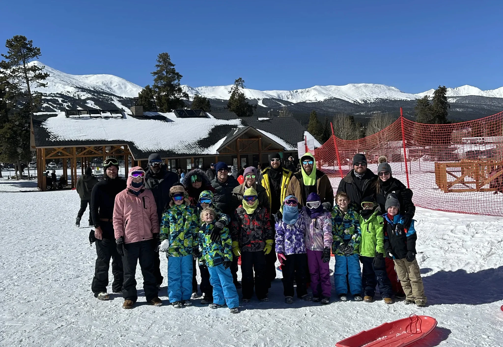
Built personally
A family spirit in a highly technical business.
Our work takes us into aircraft, vehicles, forests, construction sites, coastlines, and places that rarely resemble a clean laboratory. That is why we value curiosity, resourcefulness, and long-term relationships as much as specifications.
We are engineers, builders, problem-solvers, and field people. We also know that every system represents someone’s reputation, deadline, and livelihood. We take that personally.
What has guided us
Build the whole solution. Stay for the hard parts.
We begin with the terrain, accuracy, aircraft, deliverable, and crew—not a preselected product box.
The people helping you know how the sensor, navigation, software, and platform work together.
A successful first mission is the beginning of the relationship, not the end of the sale.
A growing family, built around the work.
From our first mobile mapping work to systems carried by vehicles, aircraft, and drones—this is the story of what we built and where it went.
We started by doing the work.
LiDARUSA originated as a mobile mapping service company in 1999.
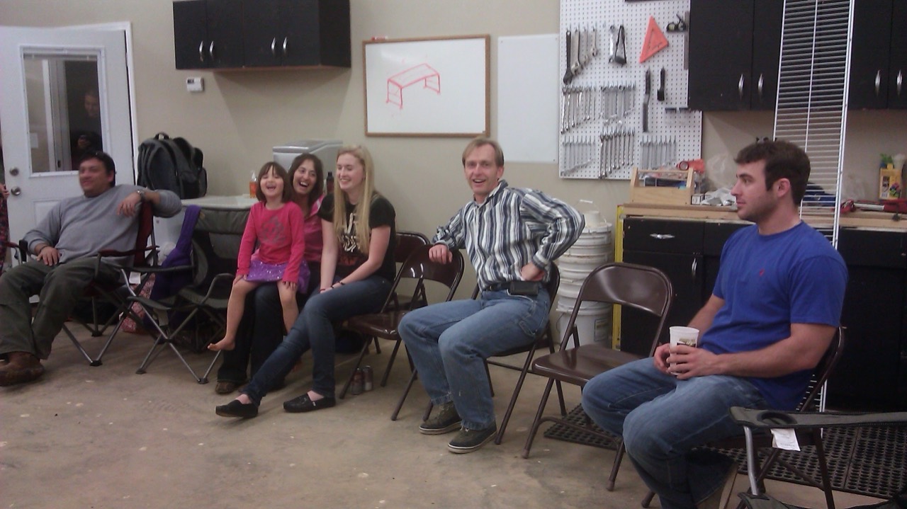
From mapping to manufacturing.
In 2009, LiDARUSA began manufacturing mobile mapping LiDAR systems.
Archive photo to comeWe didn’t take many photos back in 2009, but we’re working on finding a few to share.
One idea. More places to map.
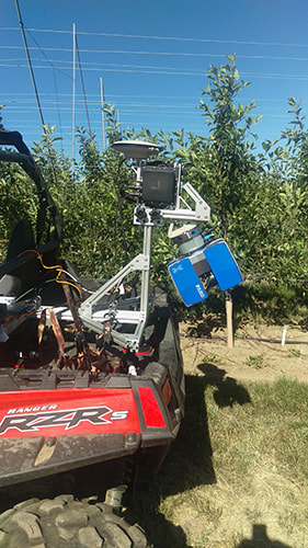
LiDARUSA sold its first ScanLook mobile mapping system in 2011. These archive photographs show the breadth of early platform integrations; their individual dates are still to be confirmed.
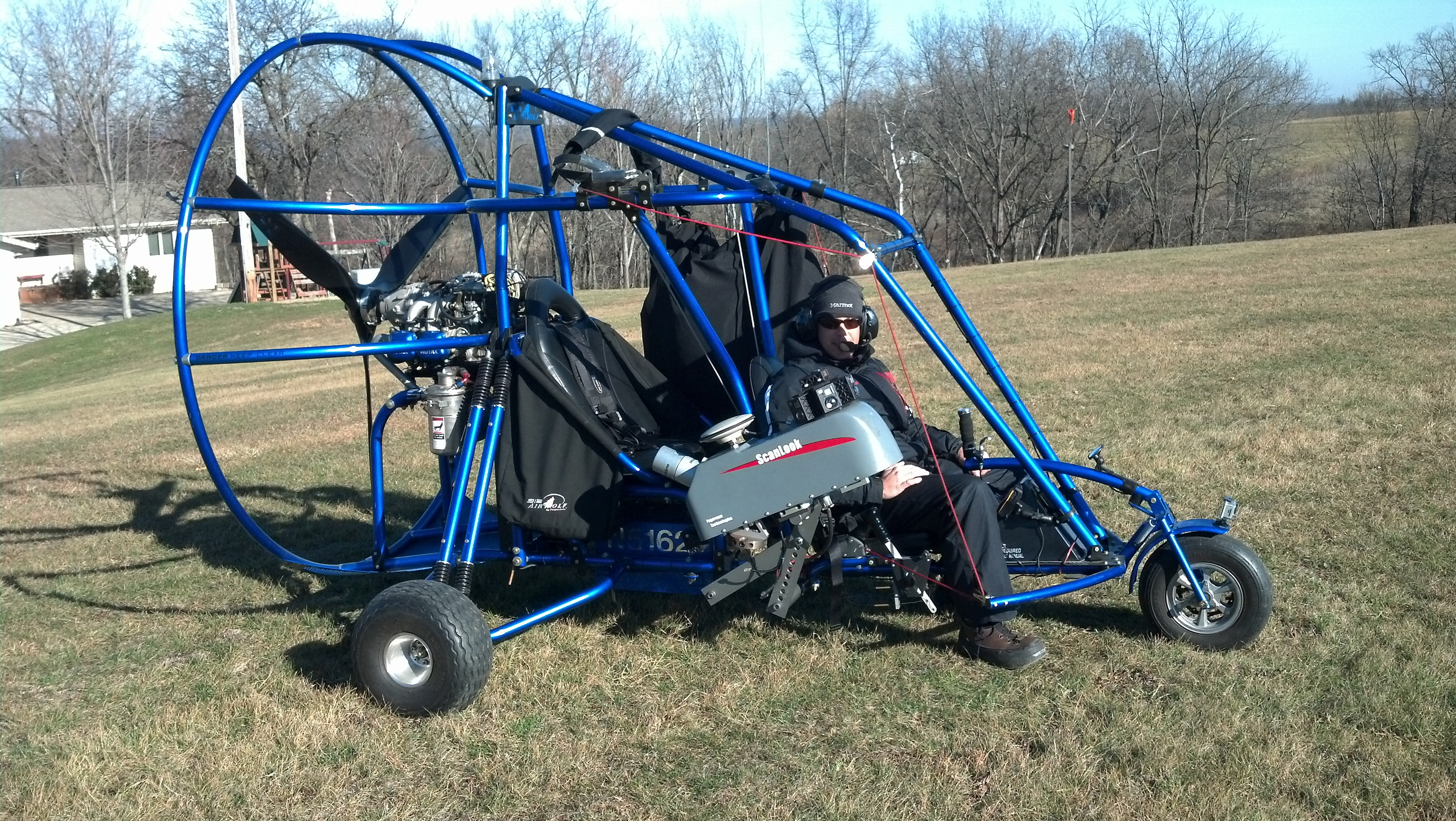
Into the air
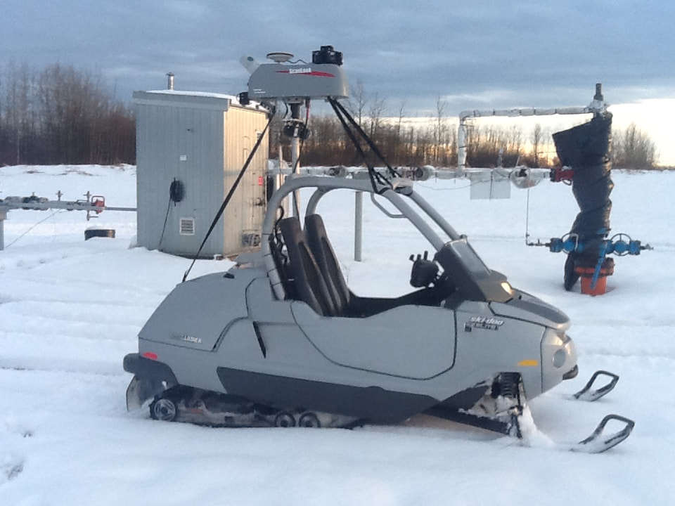
Across the snow
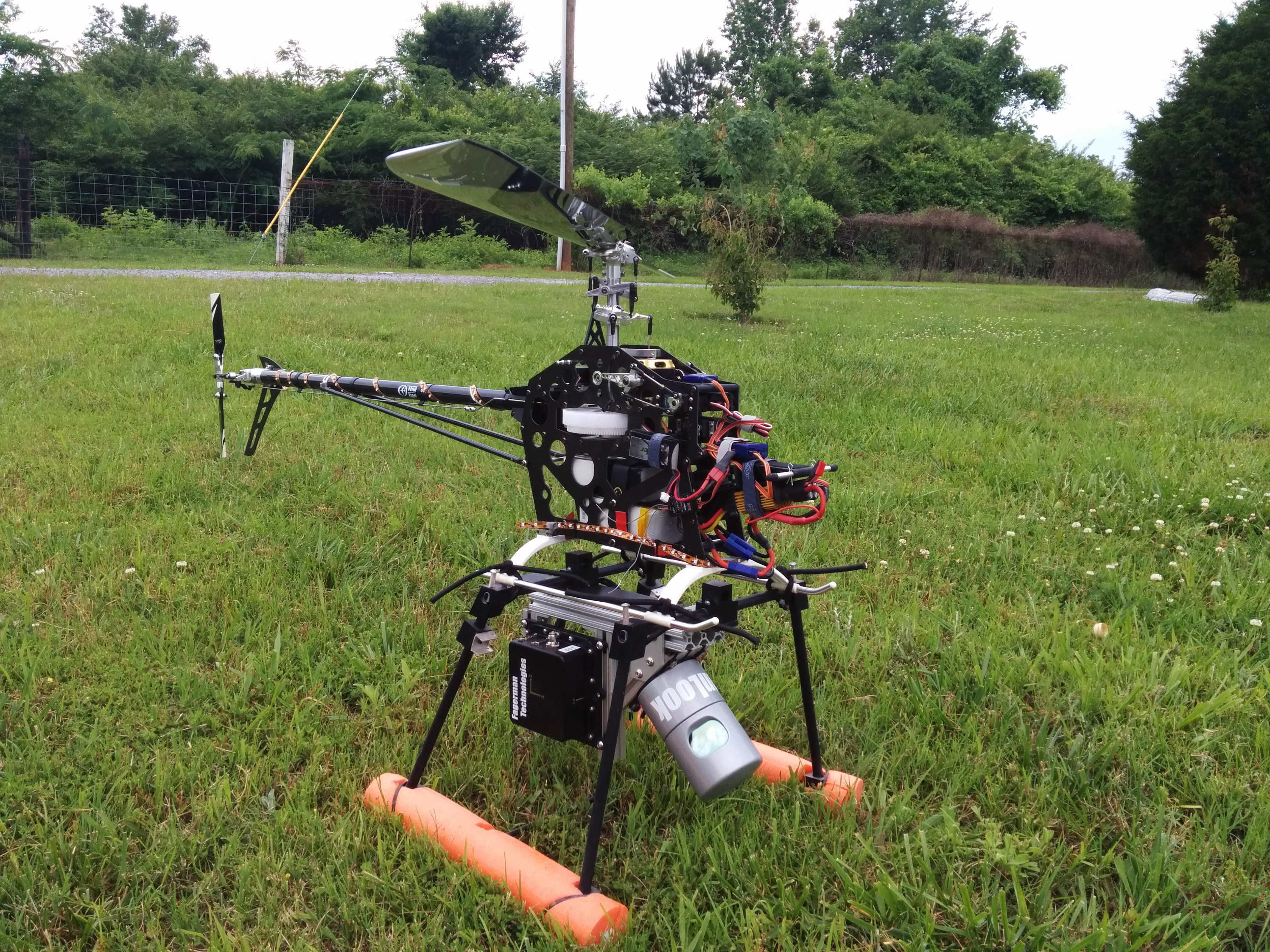
Beneath a UAV
A visit from Smarter Every Day.
Before Smarter Every Day became widely known, Destin Sandlin visited his friend Daniel Fagerman, co-owner of LiDARUSA, for an early, behind-the-scenes look at our LiDAR systems and the technology we were developing.
Sometimes the launchpad is a bass boat.
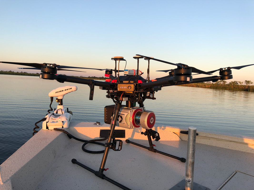
Remote access · September 2019
Finding a way into the work.
- The challenge
- Scan a remote area where vehicle access was impossible.
- The setup
- Texas surveyor Matt Davis used his bass boat as the takeoff platform for a LiDARUSA-equipped UAV.
- The result
- The boat provided a way to launch where a vehicle could not reach.
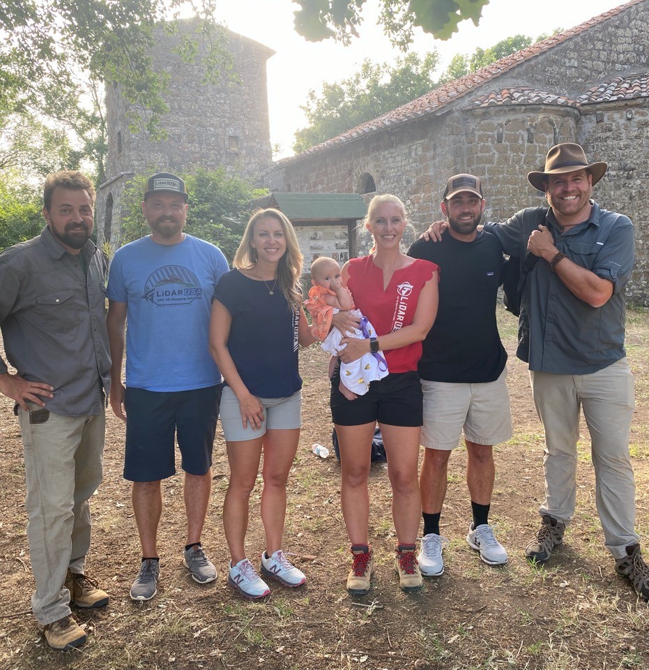
Expedition Unknown · June 2022
Finding Italy’s Lost Empire.
A week of Surveyor 32 scanning helped the team investigate an ancient Etruscan village and terrain hidden by dense vegetation.
System used: Surveyor 32
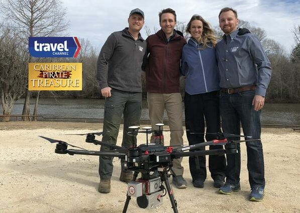
Caribbean Pirate Treasure · 2018 broadcast
Mapping the landscape behind a pirate legend.
A UAV-mounted Surveyor miniV1 helped reveal mounds beneath swamp vegetation, providing terrain and contour data for archaeological investigation.
System used: Surveyor miniV1
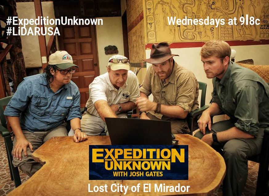
Expedition Unknown · June 2017
Revealing El Mirador beneath the jungle.
A 12-day expedition with UAV-mounted Snoopy HD revealed roads, temples, and pyramid terrain concealed beneath dense jungle.
System used: Snoopy HD
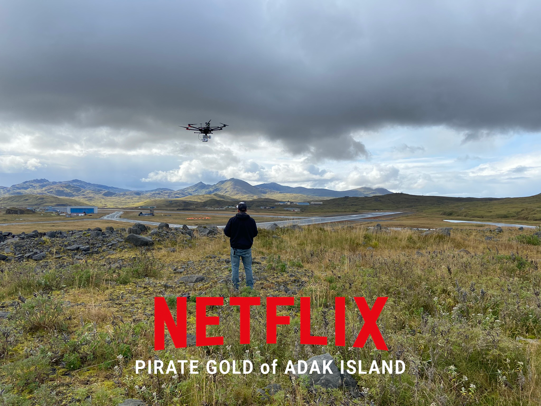
Pirate Gold of Adak Island · September 2020 filming
Mapping a path through Adak’s tundra.
Surveyor miniVUX2 terrain data helped outline routes through Adak’s tundra while the crew worked around high winds and intermittent snow.
System used: Surveyor miniVUX2
The next mission starts here.
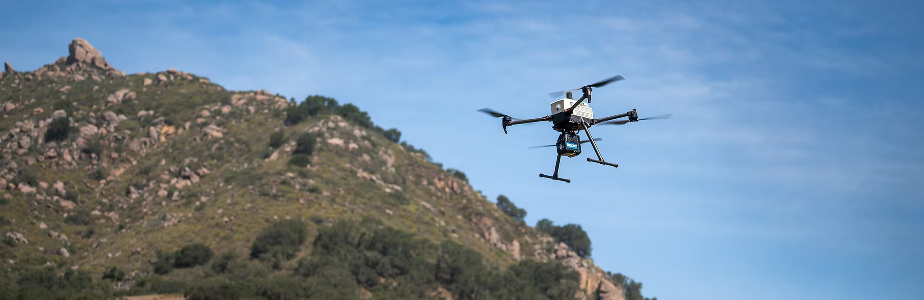
Today’s systems bring LiDAR, positioning, imagery, and field software together. Snoopy ACE III and the Navigation Console carry that practical approach into the next generation of mapping work.
Where we are going
The next system starts with your next mission.
Tell us what you need to map, how you need to collect it, and what the final data must accomplish. We’ll help build the right path forward.