
University discounts
We offer discounts to all universities to help make LiDAR technology part of their programs.
Field notes, product updates, and mapping insights.
Give students experience with the tools they’ll use beyond the classroom. We help universities bring LiDAR into teaching, fieldwork, and research—with discounts, free training, and free support.
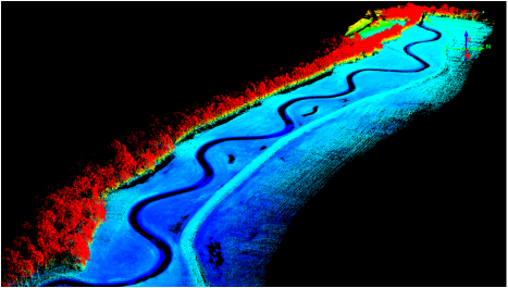
We offer discounts to all universities to help make LiDAR technology part of their programs.
Help your team get started with the system and build confidence in the LiDAR workflow.
Get help with your LiDARUSA system as questions arise in teaching, fieldwork, and research.
LiDARUSA has supplied systems to these universities, colleges, and research campuses. We’re proud to help put professional mapping technology in the hands of educators and the next generation.





































Logos identify customers; they do not imply institutional endorsement.
Give students a connected experience: plan the collection, capture real conditions, process the data, and explain what the results mean.
Introduce students to collection planning, system setup, positioning, and the decisions that shape a successful mapping project.
Connect field measurements to a usable 3D dataset. Explore georeferencing, alignment, classification, and quality checks.
Use point clouds and derived terrain information to investigate a problem, communicate findings, and support a design or research question.
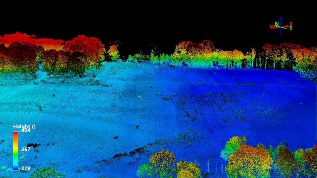
From surveying and civil engineering to environmental science and GIS, LiDAR gives students a way to measure the world in three dimensions.
Tell us what your program teaches, what your researchers need to capture, and who will operate the equipment. We’ll help you choose a system and workflow that fit.
Explore LiDAR systemsYes. LiDARUSA offers discounts to all universities. Contact us with your program requirements so we can prepare an education quote for the configuration you need.
Yes. We offer free training and support to help university teams get started and work with their LiDARUSA systems. We’ll discuss the training arrangements with your program.
The right configuration depends on your teaching and research goals, collection platform, required accuracy, imagery needs, and budget. We can help you work through those requirements.
LiDAR can support both hands-on instruction and research. Plan the system and workflow around the data you need, the people collecting it, and how your team will analyze the results.
Tell us about your university, your teaching or research goals, and your budget. We’ll help you put together the right LiDAR solution with education pricing, free training, and support.