
Three-angle collection
Nadir, forward, and backward views improve surface coverage and detail around complex geometry.
Field notes, product updates, and mapping insights.
Three scan angles. More complete coverage.
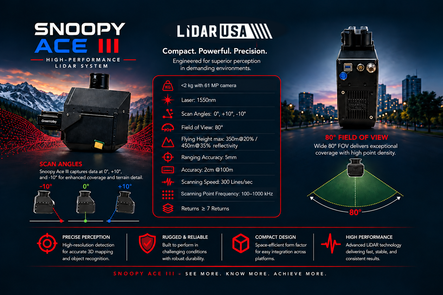
The ACE 3 configuration adds nadir, forward, and backward scan angles for more complete surface detail from UAV, helicopter, and blimp platforms.
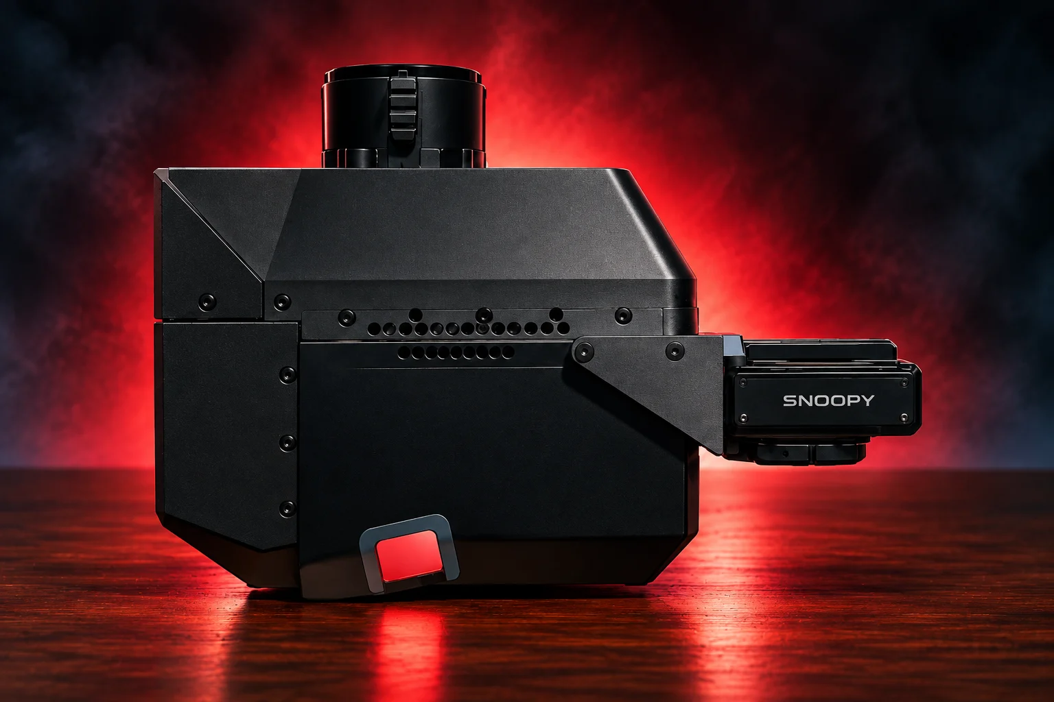
The Snoopy ACE family integrates 1550 nm LiDAR, survey-grade navigation, and high-resolution imaging in a compact, mission-ready system for UAV, helicopter, and blimp operations. Each configuration is engineered around the altitude, point density, coverage, and accuracy your work demands.
Nadir, forward, and backward views improve surface coverage and detail around complex geometry.
The system remains under 2 kg with a 61 MP camera in the referenced configuration.
A selectable 100–1,000 kHz pulse rate helps match density to altitude, speed, and project goals.
UAV, helicopter, and blimp platforms can be matched with the camera, INS, acquisition, and processing workflow.
Move across the chart to compare estimated points per square meter at representative flight speeds and flying heights. These shared planning curves are preliminary; replace them with model-specific figures when available, and confirm final results against the aircraft, sensor, and operating configuration.
Core performance details for planning aircraft integration, collection altitude, and point-cloud density.
Explore LiDARUSA field experience relevant to this system. Each story identifies the equipment actually used.
El Mirador used Snoopy HD. Snoopy ACE and Snoopy ACE 3 are current options for similar use cases, not the systems used on that expedition.

System used: Snoopy HD · June 2017
A 12-day expedition with UAV-mounted Snoopy HD revealed roads, temples, and pyramid terrain concealed beneath dense jungle.
Read the El Mirador case study