
Surrounding-scene coverage
Designed around collection needs that extend beyond downward-looking terrain capture.
Field notes, product updates, and mapping insights.
See more of the environment in every pass.
A 360-oriented ACE configuration for projects where surrounding geometry, vertical surfaces, and complete scene context matter as much as the ground below.
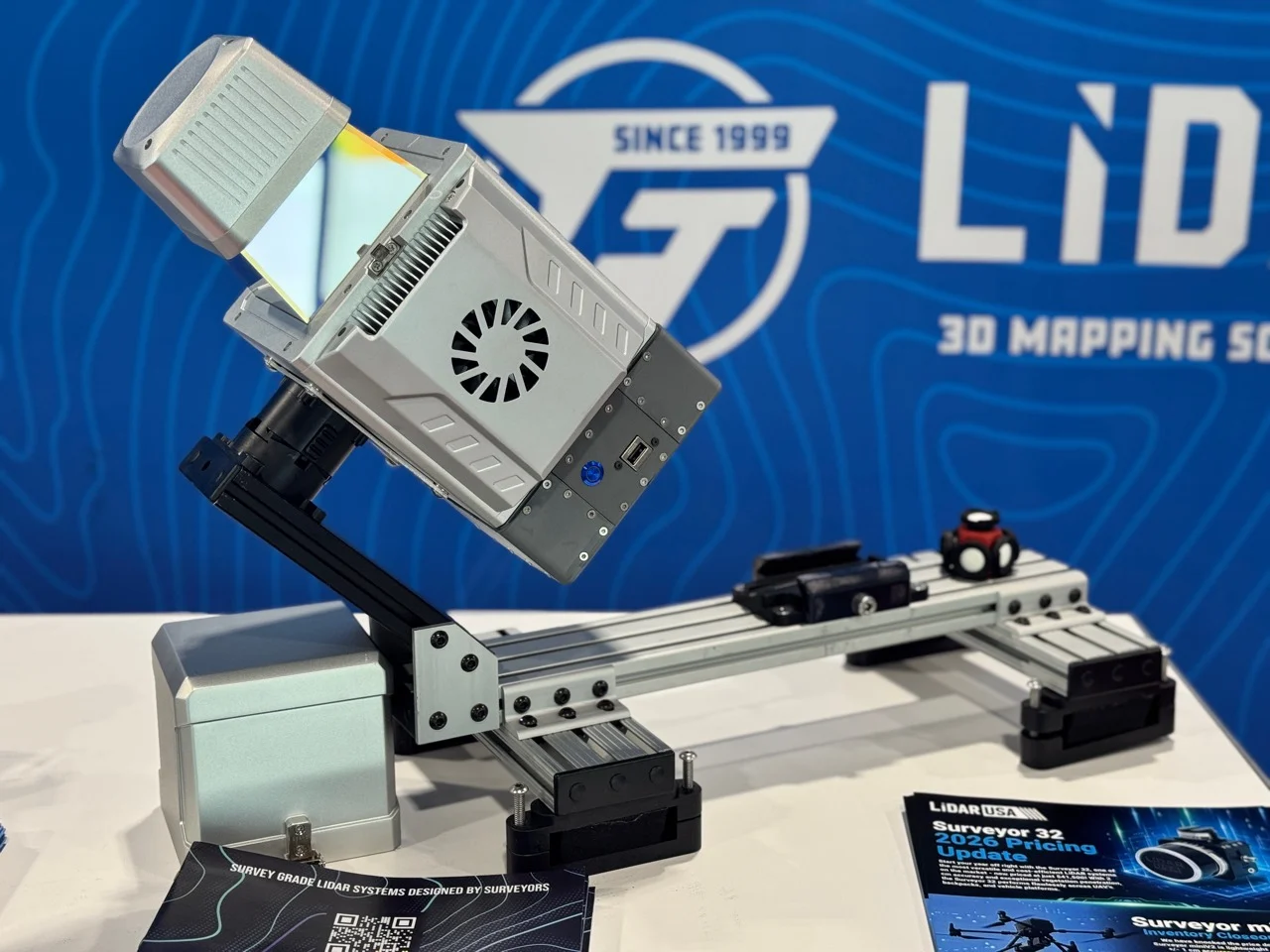
The Snoopy ACE family integrates 1550 nm LiDAR, survey-grade navigation, and high-resolution imaging in a compact, mission-ready system for UAV, helicopter, and blimp operations. Each configuration is engineered around the altitude, point density, coverage, and accuracy your work demands.
Designed around collection needs that extend beyond downward-looking terrain capture.
A strong fit for built environments, facades, roadside assets, and infrastructure context.
Configuration can be matched to aerial or mobile deployment depending on the required view geometry.
Uses the same mission-first approach to positioning, acquisition, imaging, processing, and support.