
360° camera
Capture surrounding visual context along a route. We can discuss whether all-around imagery fits your asset and corridor deliverables.
Field notes, product updates, and mapping insights.
Give a compatible LiDARUSA system a new role on the road. Build a vehicle-based mapping configuration and add a 360° camera, directional cameras, or both to capture the visual context your work calls for.
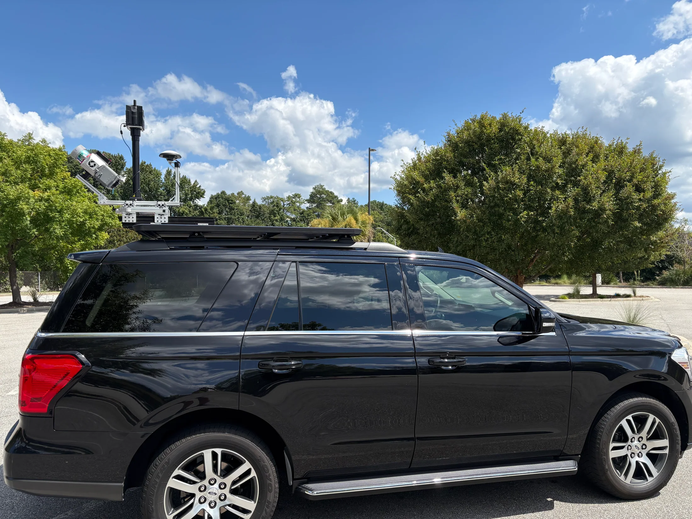
If your existing system is a fit, a vehicle integration can extend its use to road, rail, and infrastructure corridors. The right setup depends on your sensor, vehicle, positioning, mounting, power, and deliverables.
We will assess those details with you before recommending an upgrade—not every system or vehicle will use the same configuration.
We will help determine whether an upgrade is practical and what the vehicle package needs to include.
Share your LiDARUSA system model, vehicle, current camera setup, and the kind of work you want to collect.
We will review compatibility, mounting, power, positioning, camera placement, and the collection workflow before recommending hardware.
We will match the LiDAR and imagery setup to your intended point cloud, visual reference, and project deliverables.
We will discuss compatibility, camera choices, and the vehicle integration that makes sense for your work.