
Configurable scanner architecture
Choose the LiDAR technology and single or multi-scanner arrangement that best matches density, range, and quality requirements.
Field notes, product updates, and mapping insights.
Capture the corridor at road speed.
A configurable mobile mapping system for roadway, rail, and infrastructure work with single or multi-scanner options and integrated imaging.
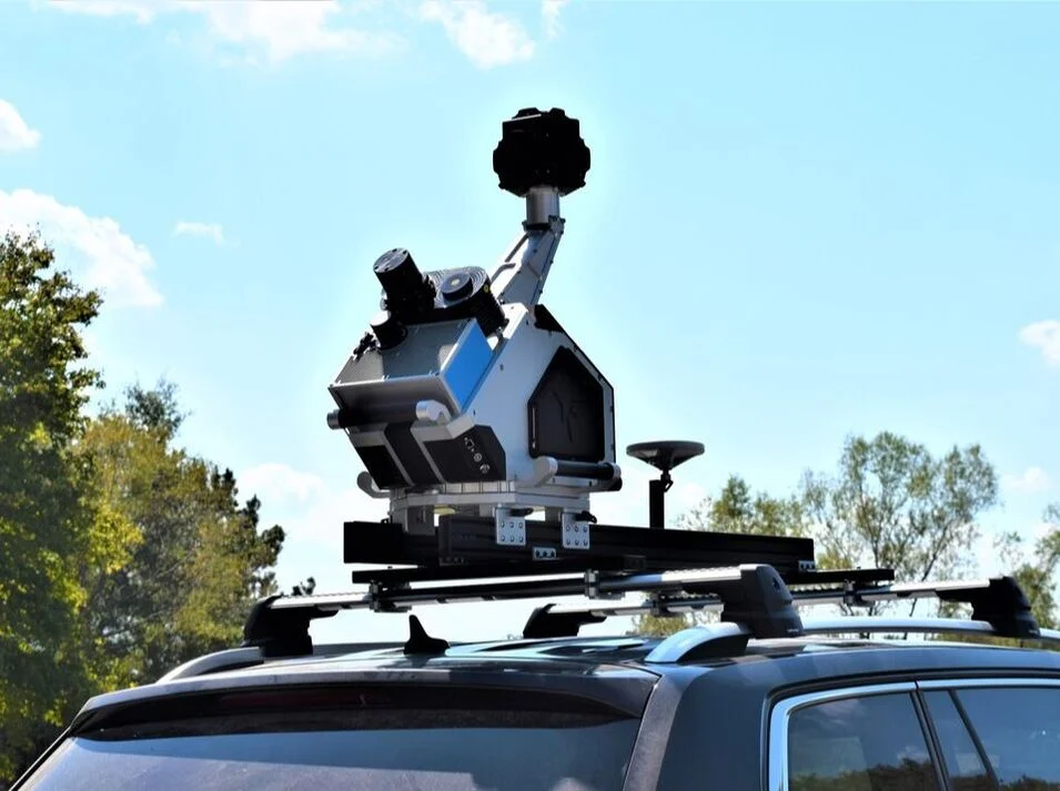
Final specifications and performance depend on the selected sensor, INS, camera, aircraft or vehicle, operating conditions, and project requirements.
Choose the LiDAR technology and single or multi-scanner arrangement that best matches density, range, and quality requirements.
One small data logger replaces a large external computer and supports variable storage for long projects.
A single 61 MP camera delivers high-resolution imagery, adding color and visual context to the mobile point cloud.
Filtering, control adjustment, coordinate tools, and common point-cloud outputs support production delivery.