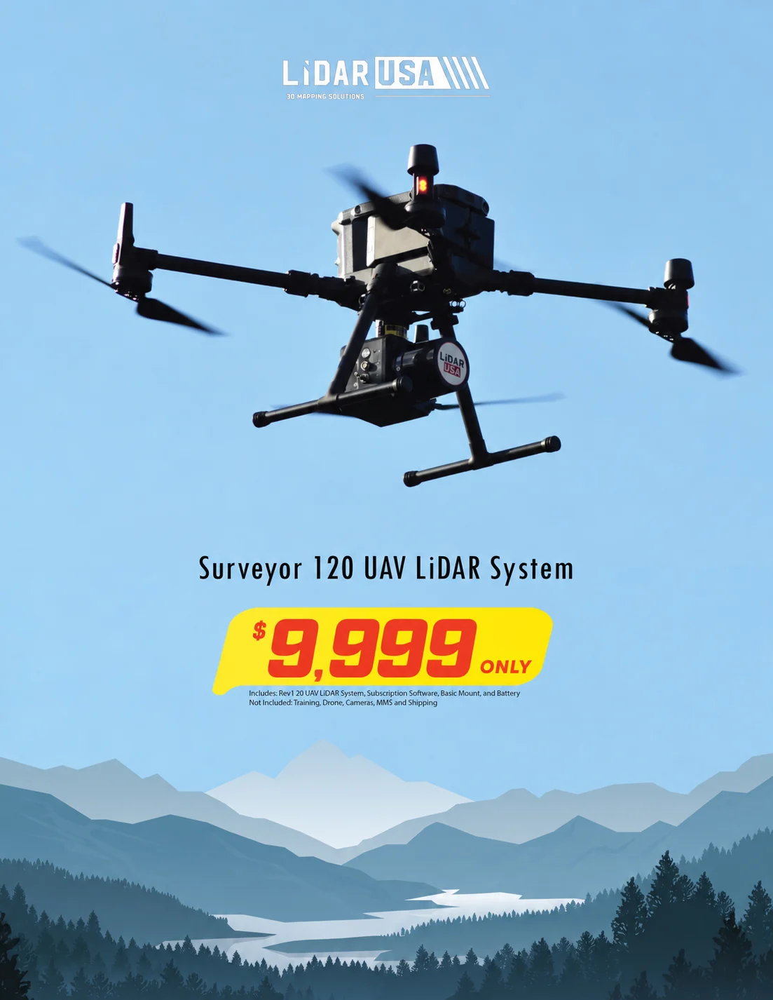
UAV-first, MMS enabled
The Revolution 120 is designed for UAV missions and can be upgraded in the field for vehicle or backpack collection.
Field notes, product updates, and mapping insights.
Cover more ground with one adaptable collection system.
A productive UAV LiDAR system designed for large-area collection, with a field-upgrade path to vehicle or backpack mapping. The system combines up to 120-meter flight profiles, a compact 1.73 kg package, and LiDARUSA’s complete ScanLook processing workflow.
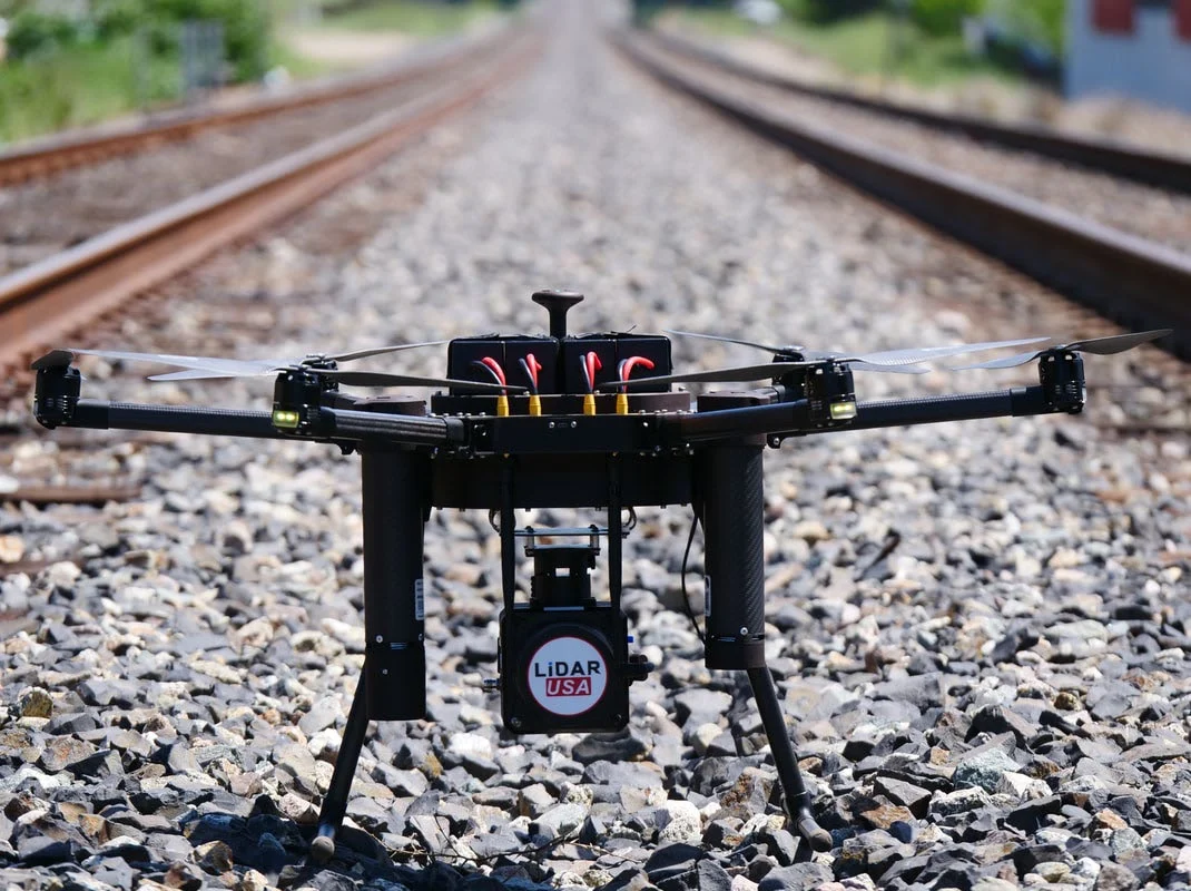
Final specifications and performance depend on the selected sensor, INS, camera, aircraft or vehicle, operating conditions, and project requirements.
The Revolution 120 is designed for UAV missions and can be upgraded in the field for vehicle or backpack collection.
Illustrated mission coverage exceeds 100 acres in one flight, with point-density planning data across 40–120 meter flight heights and speeds from 4–20 m/s.
The referenced system measures 3.5 × 11.75 × 4.375 inches and weighs approximately 1.73 kg for practical professional-aircraft integration.
A 10–30 VDC input range and 25-watt power draw support straightforward integration across aerial and ground platforms.
External storage is configurable from 500 MB to 1 TB, with internal storage supporting the integrated acquisition workflow.
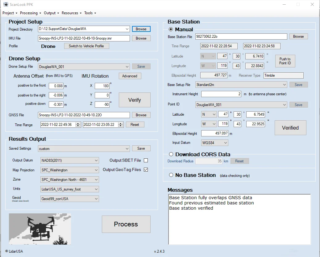
LiDARUSA software supports acquisition, PPK trajectory processing, georeferencing, strip matching, control adjustment, filtering, automatic turn removal, custom coordinate systems, and LAS/LAZ export.
Move across the chart to compare estimated points per square meter at representative flight speeds and flying heights. These shared planning curves are preliminary; replace them with model-specific figures when available, and confirm final results against the aircraft, sensor, and operating configuration.
Core performance details for planning aircraft integration, collection altitude, and point-cloud density.