
Compact sensor foundation
Built around the miniVUX family to balance performance, payload size, and aircraft flexibility.
Field notes, product updates, and mapping insights.
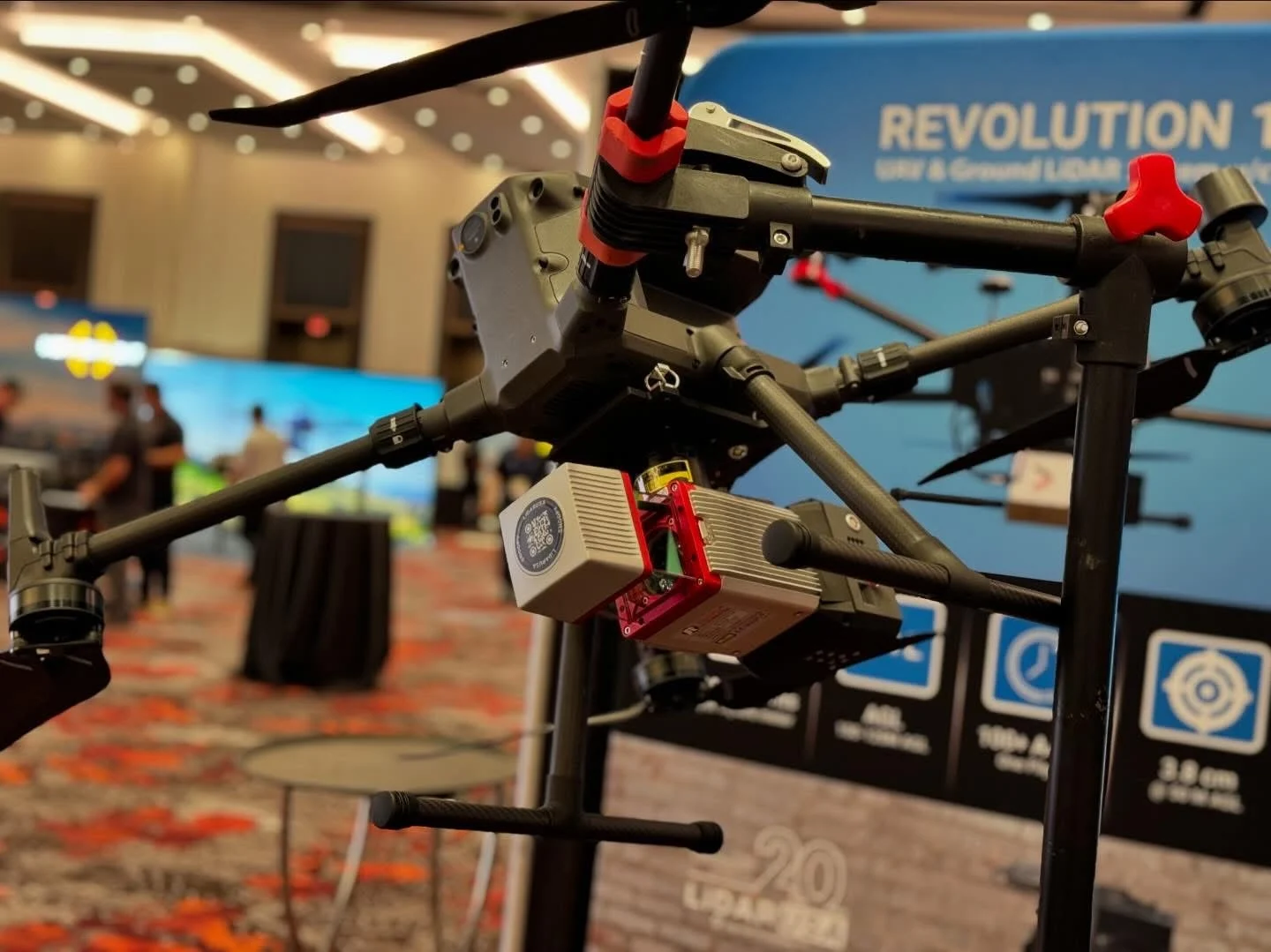
RIEGL performance in a compact airborne package.
A survey-grade integration based on the RIEGL miniVUX family for crews that need strong ranging performance without moving to a larger VUX-class package.
Final specifications and performance depend on the selected sensor, INS, camera, aircraft or vehicle, operating conditions, and project requirements.
Built around the miniVUX family to balance performance, payload size, and aircraft flexibility.
Positioning, data logging, mounting, and imaging are configured as a unified system.
The miniVUX platform has supported LiDARUSA work in demanding terrain, vegetation, wind, and changing weather.
A single 61 MP camera delivers high-resolution imagery, while positioning, aircraft, and software choices are configured around the required deliverable.
Move across the chart to compare estimated points per square meter at representative flight speeds and flying heights. These shared planning curves are preliminary; replace them with model-specific figures when available, and confirm final results against the aircraft, sensor, and operating configuration.
Explore LiDARUSA field experience relevant to this system. Each story identifies the equipment actually used.
These expeditions used Surveyor miniV1 and Surveyor miniVUX2. Explore their field experience alongside today’s Surveyor miniVUX configurations.
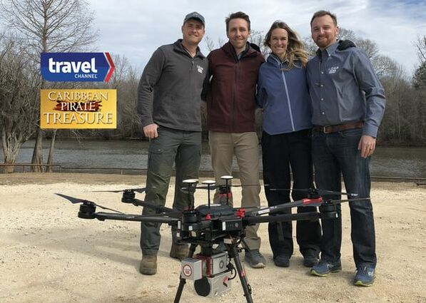
System used: Surveyor miniV1 · 2018 broadcast
A UAV-mounted Surveyor miniV1 helped reveal mounds beneath swamp vegetation, providing terrain and contour data for archaeological investigation.
Read the Gasparilla case study
System used: Surveyor miniVUX2 · September 2020 filming
Surveyor miniVUX2 terrain data helped outline routes through Adak’s tundra while the crew worked around high winds and intermittent snow.
Read the Adak Island case study